Difference between revisions of "2024-08-06 48 16"
(new plans) |
(details) |
||
| (One intermediate revision by the same user not shown) | |||
| Line 6: | Line 6: | ||
*[[User:Fippe|Fippe]] | *[[User:Fippe|Fippe]] | ||
| − | + | __TOC__ | |
| − | |||
| − | + | ==Missed [[Air Geohash]]es== | |
| − | [[Category: | + | This week, I was going to work in Austria for a few days, so in the morning, I flew [https://xkcd.com/1937/ from HAJ to VIE]. |
| + | |||
| + | I kept my eyes open for Air Geohashes, and there were three instances where I got into a ten-km radius, but nowhere near close enough. | ||
| + | |||
| + | <gallery mode="packed" heights="400px"> | ||
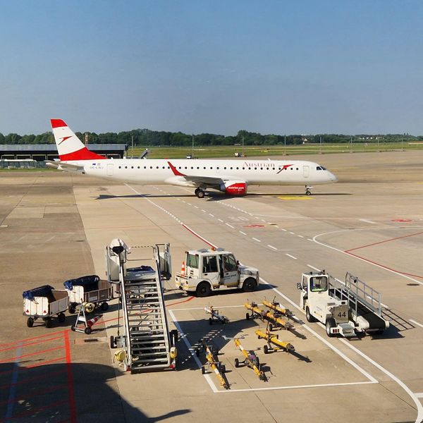
| + | 2024-08-06 HAJ E195LR OE-LWJ.jpg | OE-LWJ, an Embraer E195LR, at HAJ | ||
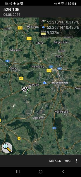
| + | 2024-08-06 52 10 Closest.jpg | Closest distance to {{egl|2024-08-06|52|10}} in Bodenstedt | ||
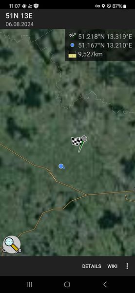
| + | 2024-08-06 51 13 Closest.jpg | Closest distance to {{egl|2024-08-06|51|13}} in Paltzschen | ||
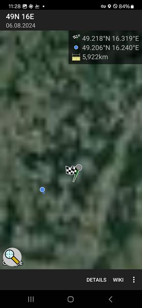
| + | 2024-08-06 49 16 Closest.jpg | Closest distance to {{egl|2024-08-06|49|16}} in Zbraslav | ||
| + | </gallery> | ||
| + | |||
| + | {{tracklog|2024-08 Fippe flights.gpx}}{{square|a0a}}{{square|a00}} Today's flight<br>{{square|0a0}}{{square|00a}} The flight back two days later | ||
| + | |||
| + | ==Expedition== | ||
| + | {{User:Fippe/Spree|2024-08-06}} | ||
| + | |||
| + | At noon, I landed at Wien-Schwechat. It was too soon to check into my hotel, so I went on this expedition first. From the airport, I took the train to Wien-Mitte, the subway to ''Wien/Ottakring'' and walked the rest of the distance. | ||
| + | |||
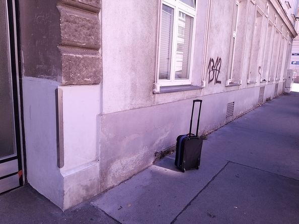
| + | The coordinates were at the side of the street Effingergasse, next to a graffito. My GNSS reception was jumpy, it looked like I was jumping around between the northern and southern sides of the street. I did manage to zero in and record proof though. | ||
| + | |||
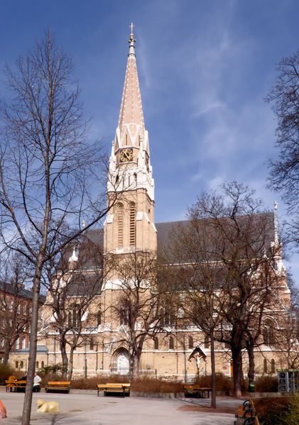
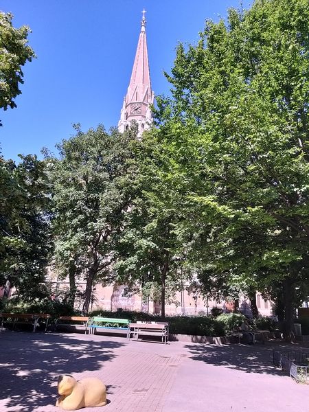
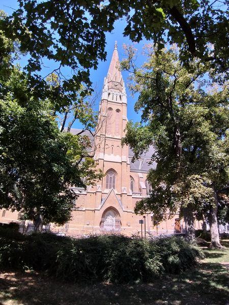
| + | Nearby, there is a [[wikipedia:de:Redemptoristenkirche (Hernals)|Redemptorist Church with a Wikipedia article]]. I recreated the photo to the best of my abilities, and now I know why the picture used on Wikipedia was taken in winter. | ||
| + | |||
| + | <gallery mode="packed" heights="400px"> | ||
| + | Redemptoristenkirche Hernals.jpg | Peter Gugerell's photo, used by Wikipedia | ||
| + | 2024-08-06 48 16 09 Redemptoristenkirche.jpg | My photo from the same angle | ||
| + | 2024-08-06 48 16 08 Redemptoristenkirche.jpg | My photo with a better view | ||
| + | </gallery> | ||
| + | |||
| + | Afterwards, I walked to the ''Wien/Mayssengasse'' station, and took the tram via ''Wien/Karlsplatz'' to my hotel near the ''Wien/Taborstraße'' station. | ||
| + | |||
| + | ==Photos== | ||
| + | <gallery mode="packed" heights="297px"> | ||
| + | 2024-08-06 48 16 01 Site.jpg | My suitcase at the coordinates | ||
| + | 2024-08-06 48 16 03 Geohash.jpg | The Geohash | ||
| + | 2024-08-06 48 16 04 Site.jpg | The site of the Geohash | ||
| + | 2024-08-06 48 16 02 Surroundings.jpg | Surroundings | ||
| + | 2024-08-06 48 16 05 Site.jpg | View from the other side of the street | ||
| + | 2024-08-06 48 16 06 Proof.jpg | Proof | ||
| + | 2024-08-06 48 16 07 Street.jpg | Effingergasse | ||
| + | </gallery> | ||
| + | |||
| + | ==Tracklog== | ||
| + | {{tracklog|2024-08-06 48 16 10 Tracklog.gpx}} | ||
| + | |||
| + | ==Ribbons== | ||
| + | {{#vardefine:ribbonwidth|100%}} | ||
| + | {{land geohash|date=2024-08-06|latitude=48|longitude=16|name=[[User:Fippe|Fippe]]|image=2024-08-06 48 16 03 Geohash.jpg}} | ||
| + | {{regional geohashing|region=[[User:Fippe/Progress#Wien|Wien]]|count=1|image=Wien regional.svg|name=[[User:Fippe|Fippe]]|}} | ||
| + | {{Radio Yerevan|achievement=[[border geohash achievement]]|detail=he did not cross the border for the "express purpose" of geohashing|date=2024-08-06|latitude=48|longitude=16|user=[[User:Fippe|Fippe]]|image=Border.PNG}} | ||
| + | |||
| + | [[Category:Expeditions]] | ||
| + | [[Category:Coordinates reached]] | ||
| + | [[Category:Expeditions with photos]] | ||
{{location|AT|W}} | {{location|AT|W}} | ||
| + | {{user categories|user=Fippe|hours=13 14|train=20|tram=14|foot=4}} | ||
Latest revision as of 21:20, 17 August 2024
| Tue 6 Aug 2024 in 48,16: 48.2184830, 16.3187400 geohashing.info google osm bing/os kml crox |
Location
This Geohash is located on a street in Wien-Ottakring.
Participants
Contents
Missed Air Geohashes
This week, I was going to work in Austria for a few days, so in the morning, I flew from HAJ to VIE.
I kept my eyes open for Air Geohashes, and there were three instances where I got into a ten-km radius, but nowhere near close enough.
Closest distance to 2024-08-06 52 10 in Bodenstedt
Closest distance to 2024-08-06 51 13 in Paltzschen
Closest distance to 2024-08-06 49 16 in Zbraslav
Today's flight
The flight back two days later
Expedition
Trip to Wien
Wien-Ottakring ·
Wagram am Wagram ·
Allhang
At noon, I landed at Wien-Schwechat. It was too soon to check into my hotel, so I went on this expedition first. From the airport, I took the train to Wien-Mitte, the subway to Wien/Ottakring and walked the rest of the distance.
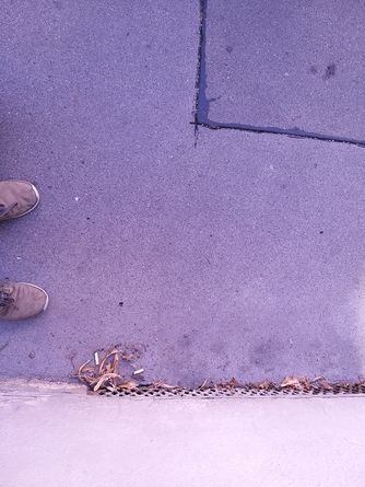
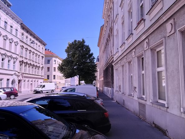
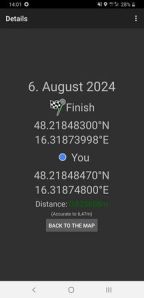
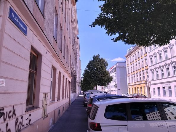
The coordinates were at the side of the street Effingergasse, next to a graffito. My GNSS reception was jumpy, it looked like I was jumping around between the northern and southern sides of the street. I did manage to zero in and record proof though.
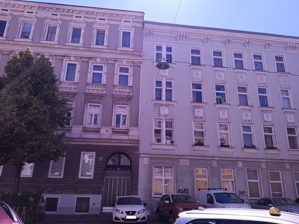
Nearby, there is a Redemptorist Church with a Wikipedia article. I recreated the photo to the best of my abilities, and now I know why the picture used on Wikipedia was taken in winter.
Afterwards, I walked to the Wien/Mayssengasse station, and took the tram via Wien/Karlsplatz to my hotel near the Wien/Taborstraße station.
Photos
Tracklog
Ribbons
Fippe earned the Land geohash achievement
|
Fippe earned the Regional geohashing achievement
|
Is it true that Fippe earned the border geohash achievement?
|
