Difference between revisions of "2009-05-13 33 -84"
imported>NWoodruff m (→NWoodruff) |
m (Replacing http://wiki.xkcd.com/geohashing/Atlanta%2C_Georgia with Atlanta, Georgia) |
||
| (One intermediate revision by one other user not shown) | |||
| Line 10: | Line 10: | ||
== Graticule == | == Graticule == | ||
| − | [ | + | [[Atlanta, Georgia|Atlanta]] |
== About == | == About == | ||
| Line 49: | Line 49: | ||
[[Category:Expeditions with photos]] | [[Category:Expeditions with photos]] | ||
[[Category:Coordinates reached]] | [[Category:Coordinates reached]] | ||
| + | {{location|US|GA|FU}} | ||
Latest revision as of 12:04, 19 February 2020
| Wed 13 May 2009 in Atlanta: 33.8805671, -84.3860138 geohashing.info google osm bing/os kml crox |
Graticule
About
Expedition
NWoodruff
This hash turned out to be not more than 2 miles out of my way home, in Roswell. I found the house where the closest street access was. I knocked on the door of the house and explained what I was doing. Greg, an older gentleman in probably early to mid 60's granted permission to access the hash point through his back yard. He informed me that it is over grown vegetation and that I should keep an eye out for snakes. I should have kept an eye out also for poison Ivy because I have a touch of it on my legs now.
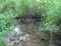
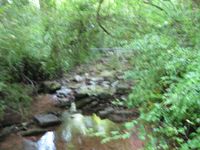
At 155 feet to go, there is a drop off of about 20 feet. As soon as I made it down the drop off, the eTrex turned off from a dead battery. It wasn't more than 5 minutes from when I got the first low battery that the eTrex quit. I pressed the on button and the eTrex came back to life. I found my way through the thick undergrowth to a stream. As soon as I made the stream, the eTrex cut out again. I waited till I crossed the stream till I turned on the eTrex again.
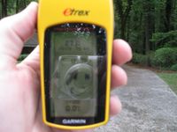
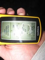
I found the exact spot and as soon as I turned on my camera, the eTrex cut out again. I turned on the eTrex again and snapped the picture of the low battery warning. I waited till the eTrex acquired the satellites and this time it settled on 2 feet to go. I went to take the picture and the eTrex turned off.
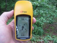
I turned it on again and it would only settle on 30 feet to go before it cut out again. I had newer batteries in my truck that I took out of my camera and replaced. But that means that I would have to trek out over the stream and through the thick brush and then back in and then back out. It took me probably 10 minutes to navigate the thick brush going in along with the stream. So, that was out of the question.
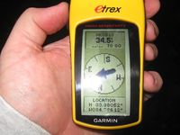
So, for the last time, I turned on the eTrex and snapped a picture when I saw 30 or so feet after acquiring the satellites. The batteries only lasted a second or so after I snapped the picture.
I then made my way out of the thick brush and back to the house. I thanked Greg for allowing me access to his property and left information in his snail mail box on how to find this web page.
Gallery
- Photo Gallery
Achievements
NWoodruff earned the Land geohash achievement
|
