Difference between revisions of "2010-02-26 39 -104"
From Geohashing
imported>Beanmj (→Tracklog) |
m (Replacing http://wiki.xkcd.com/wgh/images/2010-02-26_39_-104_Tracklog.jpg with {{filepath:2010-02-26_39_-104_Tracklog.jpg}}) |
||
| (One intermediate revision by one other user not shown) | |||
| Line 39: | Line 39: | ||
| longitude = -104 | | longitude = -104 | ||
| date = 2010-02-26 | | date = 2010-02-26 | ||
| − | | tracklog = | + | | tracklog = {{filepath:2010-02-26_39_-104_Tracklog.jpg}} |
| possessive = his | | possessive = his | ||
| name = beanmj | | name = beanmj | ||
| Line 45: | Line 45: | ||
}} | }} | ||
| + | {{location|US|CO|DN}} | ||
Latest revision as of 12:54, 19 February 2020
| Fri 26 Feb 2010 in 39,-104: 39.7236650, -104.9009606 geohashing.info google osm bing/os kml crox |
Contents
Location
Near the edge of a soccer field in Lowry.
Participants
Expedition
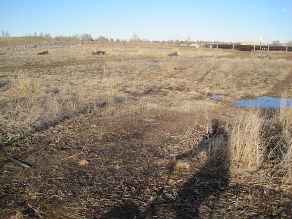
This was a rather short one (TWSS), only about three and a half miles round trip from home. I aired up my rattletrap of a cruiser that's sat unused for months, then headed out at about ten after four in the afternoon. Ten highly strenuous minutes later, I found a woman and some children playing in the field. So as to not exacerbate the "total creeper" vibe given off by a guy slowly pedaling across a soccer field occupied by children alone on a friday afternoon while staring at a gps, I didn't take any photos at the site. All I've got is a photo of my shadow on the return route home.
Tracklog
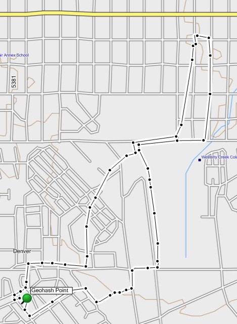
My GPS unit clearly spazzed out for a couple blocks near the beginning. Le sigh?
beanmj earned the Bicycle geohash achievement
|
beanmj earned the Tron achievement
|

