Difference between revisions of "2010-11-17 60 10"
From Geohashing
imported>Bierhefe (cleaning up) |
m (2020-01-01 update) |
||
| (One intermediate revision by one other user not shown) | |||
| Line 39: | Line 39: | ||
[[Category:Expeditions with photos]] | [[Category:Expeditions with photos]] | ||
[[Category:Coordinates reached]] | [[Category:Coordinates reached]] | ||
| + | {{location|NO|34}} | ||
Latest revision as of 00:21, 16 February 2020
| Wed 17 Nov 2010 in 60,10: 60.5840567, 10.3474905 geohashing.info google osm bing/os kml crox |
Location
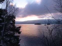
On a side road near the Sperillen lakeoid.
Today's battleship location is: D 6
Participants
- relet should be able to make a drive-by hashing on the way back from the GIS Day conference in Gjøvik.
Plans
Expedition
- Hmm. Sitting 260m from the target, waiting for some muggles to disappear. -- relet @60,5844,10,3427 14:57, 17 November 2010 (MEZ)
- Decided to sod it and drive in. Coordinates reached! Now find a place to turn. :) -- relet @60,5840,10,3475 15:03, 17 November 2010 (MEZ)
Tracklog
Photos
|
