Difference between revisions of "2012-04-08 61 9"
From Geohashing
imported>Relet ([live] Coordinates reached!) |
m (2020-01-01 update) |
||
| (5 intermediate revisions by 2 users not shown) | |||
| Line 1: | Line 1: | ||
| − | |||
| − | |||
| − | |||
| − | |||
| − | |||
| − | |||
| − | |||
| − | |||
| − | |||
| − | |||
{{meetup graticule | {{meetup graticule | ||
| lat=61 | | lat=61 | ||
| Line 15: | Line 5: | ||
}} | }} | ||
| − | |||
__NOTOC__ | __NOTOC__ | ||
== Location == | == Location == | ||
| − | + | ||
| + | At the entrance of the Rondane National Park, Norway | ||
| + | |||
| + | {{Template:PBGH battleship|lat=61|lon=9|date=2012-04-08}} | ||
== Participants == | == Participants == | ||
| − | + | ||
| + | * [[User:relet|relet]] | ||
== Plans == | == Plans == | ||
| − | + | ||
| + | Take a tour through Valdresflya and Vågå to take a peek at Rondane. | ||
== Expedition == | == Expedition == | ||
| − | |||
| + | (Which is pretty much what happened) | ||
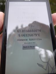
| + | *Coordinates reached! -- [[User:relet|relet]] [http://www.openstreetmap.org/?lat=61.81666454&lon=9.66328133&zoom=16&layers=B000FTF @61.8167,9.6633] 16:25, 08 april 2012 (CEST) | ||
| − | |||
== Tracklog == | == Tracklog == | ||
| − | |||
== Photos == | == Photos == | ||
| − | + | {{#vardefine:gaWidth|350}} | |
| − | + | {{#vardefine:gaHeight|257}} | |
| − | -- | + | {{#vardefine:gaLines|2}} |
| − | < | + | {{Gallery2| |
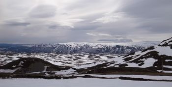
| − | + | {{GalleryItem | File:2012-04-08 R1064905.JPG | Jotunheimen }} | |
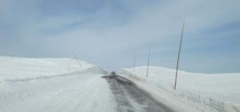
| + | {{GalleryItem | File:2012-04-08 R1064907.JPG | Across Valdresflya }} | ||
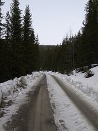
| + | {{GalleryItem | File:2012-04-08 R1064909.JPG | The walk up the private roads around Rondanevegen }} | ||
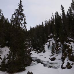
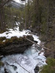
| + | {{GalleryItem | File:2012-04-08 R1064912.JPG | Rivers are thawing... }} | ||
| + | {{GalleryItem | File:2012-04-08 R1064914.JPG | ...mostly downhill. }} | ||
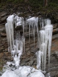
| + | {{GalleryItem | File:2012-04-08 R1064915.JPG | Ice art }} | ||
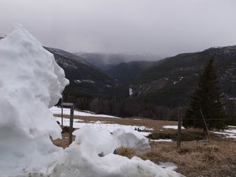
| + | {{GalleryItem | File:2012-04-08 R1064916.JPG | The view down into the valley }} | ||
| + | {{GalleryItem | File:2012-04-08 R1064918.JPG | I suck at GPS dancing }} | ||
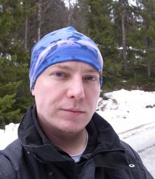
| + | {{GalleryItem | File:2012-04-08 R1064919.JPG | Me, I guess }} | ||
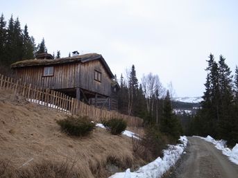
| + | {{GalleryItem | File:2012-04-08 R1064921.JPG | Huts and farms along the way }} | ||
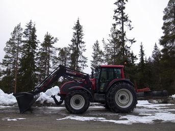
| + | {{GalleryItem | File:2012-04-08 R1064923.JPG | <3 machinery }} | ||
| + | |||
| + | }} | ||
== Achievements == | == Achievements == | ||
{{#vardefine:ribbonwidth|800px}} | {{#vardefine:ribbonwidth|800px}} | ||
| − | |||
| − | |||
| − | |||
| − | |||
| − | |||
| − | |||
| − | |||
| − | |||
| − | |||
| − | |||
| − | |||
| − | |||
[[Category:Expeditions]] | [[Category:Expeditions]] | ||
| − | |||
[[Category:Expeditions with photos]] | [[Category:Expeditions with photos]] | ||
| − | |||
| − | |||
| − | |||
| − | |||
| − | |||
[[Category:Coordinates reached]] | [[Category:Coordinates reached]] | ||
| − | + | {{location|NO|34}} | |
| − | |||
| − | |||
| − | |||
| − | |||
| − | |||
| − | |||
| − | |||
| − | |||
| − | |||
Latest revision as of 00:21, 16 February 2020
| Sun 8 Apr 2012 in 61,9: 61.8165933, 9.6631982 geohashing.info google osm bing/os kml crox |
Location
At the entrance of the Rondane National Park, Norway
Today's battleship location is: G 9
Participants
Plans
Take a tour through Valdresflya and Vågå to take a peek at Rondane.
Expedition
(Which is pretty much what happened)
- Coordinates reached! -- relet @61.8167,9.6633 16:25, 08 april 2012 (CEST)
Tracklog
Photos
|
