Difference between revisions of "2012-06-23 52 13"
From Geohashing
imported>Jiml m (Adjust result codes) |
imported>FippeBot m (Location) |
||
| (One intermediate revision by one other user not shown) | |||
| Line 17: | Line 17: | ||
__NOTOC__ | __NOTOC__ | ||
== Location == | == Location == | ||
| − | Outskirts of Grünheide, next to the highway | + | Outskirts of Grünheide, next to the highway / |
| + | garden plots near Erkner | ||
== Participants == | == Participants == | ||
* [[User:Lyx|Lyx]] | * [[User:Lyx|Lyx]] | ||
| − | + | ||
| − | |||
| − | |||
| − | |||
| − | |||
| − | |||
| − | |||
| − | |||
| − | |||
| − | |||
== Photos == | == Photos == | ||
| + | {{#vardefine:gaWidth|350}} | ||
| + | {{#vardefine:gaHeight|257}} | ||
| + | {{#vardefine:gaLines|2}} | ||
| + | {{Gallery2| | ||
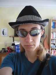
| + | {{GalleryItem | File:P1060867.JPG | Ready to Geohash! }} | ||
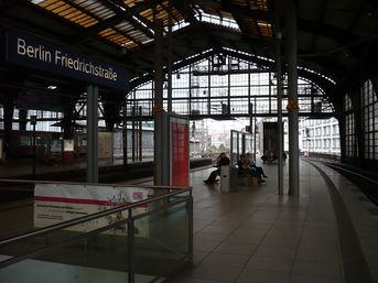
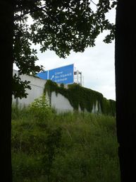
| + | {{GalleryItem | File:P1060869.JPG | It's cool to remember that this building is so huge because steam trains used to stop there. }} | ||
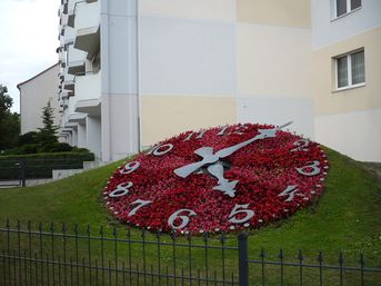
| + | {{GalleryItem | File:P1060870.JPG | Oh no, late for tea! }} | ||
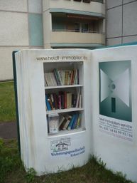
| + | {{GalleryItem | File:P1060871.JPG | Discarded books.. or so. }} | ||
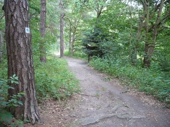
| + | {{GalleryItem | File:P1060872.JPG | German hiking paths are weird.. }} | ||
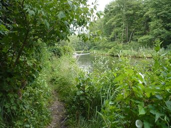
| + | {{GalleryItem | File:P1060873.JPG | This path I entered at my own risk. Channel on the one side -}} | ||
| + | {{GalleryItem | File:P1060874.JPG | - Wupatzsee on the other }} | ||
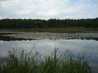
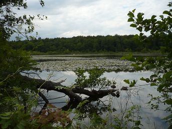
| + | {{GalleryItem | File:P1060875.JPG | Wupatzsee with duckies }} | ||
| + | {{GalleryItem | File:P1060876.JPG | Next to here .. }} | ||
| + | {{GalleryItem | File:P1060877.JPG | .. the geohash! }} | ||
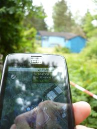
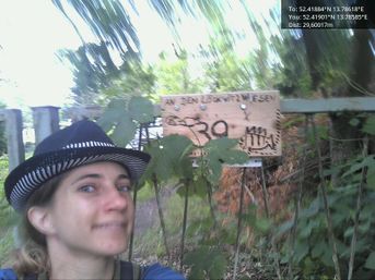
| + | {{GalleryItem | Image:2012-06-23_52_13_18-05-06-868.jpg | Coordinates reached! @52.4190,13.7859}} | ||
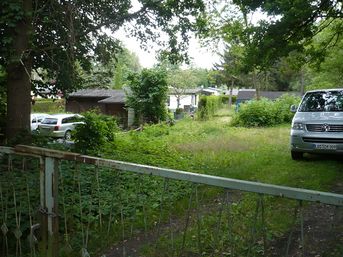
| + | {{GalleryItem | File:P1060878.JPG | I think it's next to that shed. Couldn't get closer from this side, but had been next to it entering through the open gate to the left. }} | ||
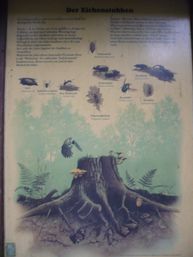
| + | {{GalleryItem | File:P1060879.JPG | Liked the word "Stubben". }} | ||
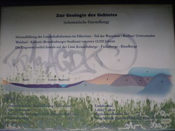
| + | {{GalleryItem | File:P1060880.JPG | Liked .. something about this, too. }} | ||
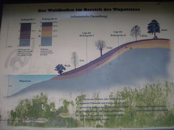
| + | {{GalleryItem | File:P1060881.JPG | Nice graphics. }} | ||
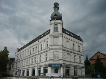
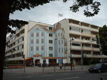
| + | {{GalleryItem | File:P1060882.JPG | House with tower }} | ||
| + | {{GalleryItem | File:P1060883.JPG | No house with no tower }} | ||
| + | {{GalleryItem | File:P1060884.JPG | Time to go home! }} | ||
| + | }} | ||
| − | |||
| − | |||
| − | |||
| − | |||
| − | |||
== Achievements == | == Achievements == | ||
| Line 43: | Line 53: | ||
<!-- Add any achievement ribbons you earned below, or remove this section --> | <!-- Add any achievement ribbons you earned below, or remove this section --> | ||
| − | * Land Geohash | + | * Land Geohash |
| + | * Public Transport Geohash | ||
| Line 52: | Line 63: | ||
[[Category:Coordinates reached]] | [[Category:Coordinates reached]] | ||
| + | {{location|DE|BB|LOS}} | ||
Latest revision as of 04:41, 13 August 2019
| Sat 23 Jun 2012 in 52,13: 52.4188367, 13.7861832 geohashing.info google osm bing/os kml crox |
Location
Outskirts of Grünheide, next to the highway / garden plots near Erkner
Participants
Photos
|
Achievements
- Land Geohash
- Public Transport Geohash
