Difference between revisions of "2012-12-22 50 10"
imported>Reinhard m (→Photos) |
imported>FippeBot m (Location) |
||
| Line 28: | Line 28: | ||
[[Category:Expeditions with photos]] | [[Category:Expeditions with photos]] | ||
[[Category:Coordinates reached]] | [[Category:Coordinates reached]] | ||
| + | {{location|DE|TH|IK}} | ||
Latest revision as of 00:21, 14 August 2019
| Sat 22 Dec 2012 in 50,10: 50.6976274, 10.9700279 geohashing.info google osm bing/os kml crox |
Location
In a forest near Ilmenau, Thuringia.
Participants
Expedition
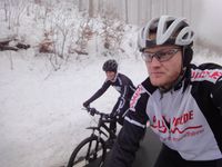
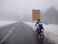
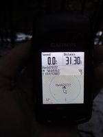
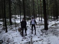
At least one hashpoint on the weekend of 4th advent sunday was close enough to reach from Schleusingerneundorf. Reinhard had taken his bike with him for Christmas holidays and Juja didn't forget her bike helmet, so she could make use of one of her father's bikes. They met after lunch and crossed the Thuringian forest to get to Ilmenau and further to the hashpoint. Google's satellite picture didn't show the new road which passes the hashpoint quite close. Of course, Juja and Reinhard chose this one and crossed the crash barrier to push (Reinhard) or ride (Juja) their bikes through the mud and into the wood. About 100 m were quickly covered and the hashpoint (or area as GPS signal was rather bad) found. Taking an other way back to Ilmenau and climbing to and descending from the Rennsteig once again while it was getting dark, they soon reached their homes, where coffee and cake awaited them after 65 km with temperatures between -2°C and +1°C.
Photos
|


