Difference between revisions of "2013-07-09 52 0"
From Geohashing
imported>Sourcerer m (→Expedition) |
imported>FippeBot m (Location) |
||
| (One intermediate revision by one other user not shown) | |||
| Line 1: | Line 1: | ||
{{meetup graticule | {{meetup graticule | ||
| − | | lat=52 | + | | lat=52 |
| − | | lon=0 | + | | lon=0 |
| − | | date=2013-07-09 | + | | date=2013-07-09 |
| + | | graticule_name=Cambridge, UK | ||
| + | | graticule_link=Cambridge, United Kingdom | ||
}} | }} | ||
| Line 41: | Line 43: | ||
[[Category:Not reached - Did not attempt]] | [[Category:Not reached - Did not attempt]] | ||
| + | {{location|GB|ENG|NFK}} | ||
Latest revision as of 03:05, 14 August 2019
| Tue 9 Jul 2013 in Cambridge, UK: 52.9783822, 0.8722362 geohashing.info google osm bing/os kml crox |
Location
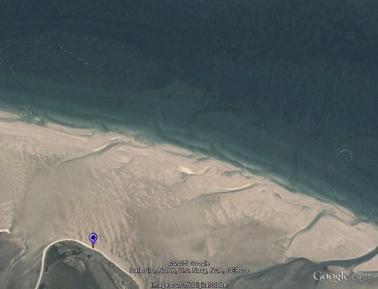
On the sand flats, accessible at LOW TIDE, north of Wells Next the Sea, Norfolk UK.
Participants
Plans
Sourcerer likes this terrain and, tide permitting, might make the attempt. You'd need to get there at 16:30 summer time. Sourcerer can't make it unless he bunks off work - no can do. 4am is OK too!
Expedition - Fail
Not attempted. Work commitments.
Achievements
Sourcerer earned the King Cnut award
|
Cnut = Canute
Expeditions and Plans
| 2013-07-09 | ||
|---|---|---|
| Roswell, Georgia | NWoodruff | On the back part of a rock quarry in Kennesaw. |
| Cambridge, United Kingdom | Someone went | On the sand flats, accessible at LOW TIDE, north of Wells Next the Sea, Nor... |
