Difference between revisions of "2013-07-25 50 11"
imported>Paintedhell (→Photos) |
imported>FippeBot m (Location) |
||
| Line 38: | Line 38: | ||
[[Category:Expeditions with photos]] | [[Category:Expeditions with photos]] | ||
[[Category:Coordinates reached]] | [[Category:Coordinates reached]] | ||
| + | {{location|DE|TH|AP}} | ||
Latest revision as of 03:19, 14 August 2019
| Thu 25 Jul 2013 in 50,11: 50.9301065, 11.3551726 geohashing.info google osm bing/os kml crox |
Location
In a forest near Oettern
Participants
Expedition
While I’m, Jens, now writing this report, Juja still didn’t have enough sport for today and continues - well I don’t know exactly what is was – doing some kind of sport in any case. So its up to me to write the report.
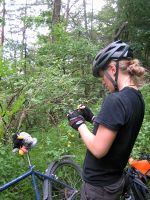
As always when we both visit a hashpoint together, these are two expeditions in one. For Juja it’s a relaxed tour, just good enough to bridge the time between work and the next event. For me it was the challenge to keep the gap between Juja’s and my bike not larger than 300 meters. Lucky for me, whenever this seemed to happen, Juja stopped or did some zigzagging.
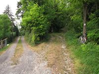
Moving around this way, we arrived at Oettern, where we left the main street and climbed up on a small street into the points direction. And again the story splits. Some of us (guess who) parked the bike on the last tree available before the gradient became more zoomed. Others moved their bike straight to the point.
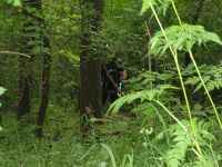
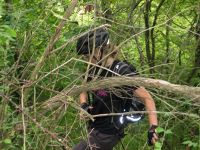
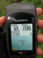
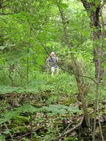
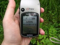
We both were equipped with GPS devices, so we both were able to locate the point and thanks to the fading within the forest our devices decided to send us to different locations. And in a typical hashpoint area 5 meters may become an important difference. Lucky for me, my point lay on a something, that might have been a tiny path in 1573. Jujas point lay 5 meters away (horizontal) plus 5 meters down. But Juja likes sport, so it doesn’t matter.
Photos
|
