Difference between revisions of "2013-08-16 50 11"
From Geohashing
imported>Paintedhell (Created page with "{{meetup graticule | lat=50 | lon=11 | date=2013-08-16 }} __NOTOC__ == Location == Not far from a street, on the edge of a field near Bösleben. == Participants == * [[user...") |
imported>FippeBot m (Location) |
||
| (2 intermediate revisions by one other user not shown) | |||
| Line 17: | Line 17: | ||
== Photos == | == Photos == | ||
{{gallery|width=200|height=200|lines=2 | {{gallery|width=200|height=200|lines=2 | ||
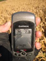
| − | + | |Image:130816_50_11_1.JPG|Hashpoint reached... | |
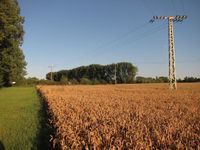
| + | |Image:130816_50_11_2.JPG|...at the edge of the field. | ||
| + | |Image:130816_50_11_3.JPG|Davey got a little nearer to the point. | ||
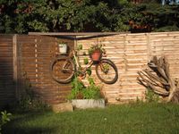
| + | |Image:130816_50_11_4.JPG|Garden decoration in Bösleben. | ||
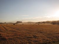
| + | |Image:130816_50_11_5.JPG|Typical scenery of the day (atchoo!) | ||
}} | }} | ||
[[Category:Expeditions]] | [[Category:Expeditions]] | ||
| − | + | [[Category:Expeditions with photos]] | |
[[Category:Coordinates reached]] | [[Category:Coordinates reached]] | ||
| + | {{location|DE|TH|IK}} | ||
Latest revision as of 03:37, 14 August 2019
| Fri 16 Aug 2013 in 50,11: 50.8320446, 11.0585536 geohashing.info google osm bing/os kml crox |
Location
Not far from a street, on the edge of a field near Bösleben.
Participants
- Juja and Davey
Expedition
Once again I was on my way home from Jena to southern Thuringia and the Geohash was "practically on the way" - I have yet to find out how big a detour it was but maybe I just don't want to know. I started my trip a little late and it got long. Even longer by visiting the point, of course. I had no problems finding it, it was 4 meters inside a field (reached within accuracy without killing any wheat), my legs seemed pretty tired after that but at least it was really nice and sunny (until it got dark, and at the end I had to do the final descent home in complete darkness and hoped I wouldn't meet any boars...)
Photos
|
