Difference between revisions of "2013-10-09 52 1"
From Geohashing
imported>Sourcerer m (→Expedition Success) |
imported>FippeBot m (Location) |
||
| Line 29: | Line 29: | ||
[[Category:Expeditions with photos]] | [[Category:Expeditions with photos]] | ||
[[Category:Coordinates reached]] | [[Category:Coordinates reached]] | ||
| + | {{location|GB|ENG|NFK}} | ||
Latest revision as of 04:15, 14 August 2019
| Wed 9 Oct 2013 in 52,1: 52.8699610, 1.3834400 geohashing.info google osm bing/os kml crox |
Contents
Location
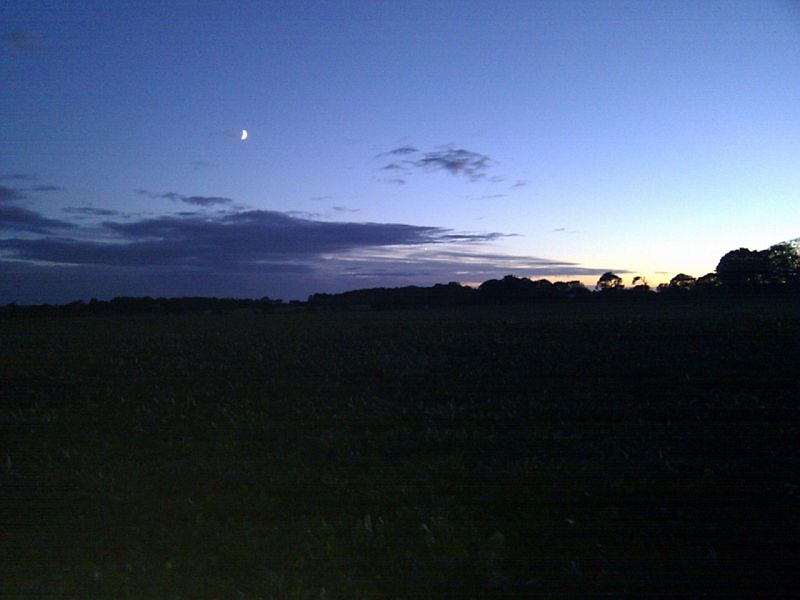
A sugar beet field beside a narrow country lane west of Mundesley, Norfolk, UK.
Participants
Expedition
- Arrived. -- Sourcerer (talk) @52.8700,1.3835 18:44, 09 October 2013 (GMT+01:00)
Sourcerer (Neil) had a meeting in Norwich so he took a slightly longer route to include the hashpoint. Techno-chaos nearly ruined this outing. All Neil's batteries ran out shortly after reaching the hashpoint. This made the return trip more interesting. The setting moon and sunset glow in the west were used to navigate back to the main Norwich road. Once this was located, the rest was easy.
The batteries were several years old and had been lasting shorter times recently so this morning, Amazon got an order for replacements. In a couple of weeks time he'll be doing another leg of his walk across Europe. Failed satnav batteries would be a big inconvenience!
