Difference between revisions of "2014-04-05 51 9"
From Geohashing
imported>GeorgDerReisende (new expedition to Großalmerode-Laudenbach) |
imported>FippeBot m (Location) |
||
| (2 intermediate revisions by one other user not shown) | |||
| Line 20: | Line 20: | ||
== Expedition == | == Expedition == | ||
| − | |||
| − | == | + | {| |
| − | + | |- | |
| + | ! style="width:300px" | !! style="width:300px" | !! style="width:300px" | | ||
| + | |- | ||
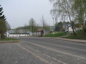
| + | | [[Image:2014-04-05 51 9 GeorgDerReisende 7807.jpg|300px]] || || I started to hitchhike at Kaufungen-Papierfabrik at 12:30. After one minute a car stopped and I got a lift to Großalmerode. As many times I wanted to explain my quest to the driver. But soon as I used the word ''geohashing'', the driver said he know about the game. As always I understood that the driver is thinking about geocashing and I wanted to correct him. But he stayed at his statement, that he knows about geohashing. And he told me, that he has a friend in Hamburg, who does sometimes geohashing. Then he told me, that his sons do geocashing and I understood, that he knew the difference. This driver brought me to Epterode to the former railway station, where I arrived and started to walk at 12:53. | ||
| + | |- | ||
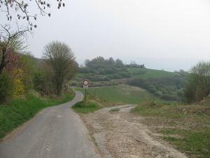
| + | | [[Image:2014-04-05 51 9 GeorgDerReisende 7823.jpg|300px]] || || Then I walked through Epterode. The road itself was signed as a county road, but at the end of the village the county road ended too. | ||
| + | |- | ||
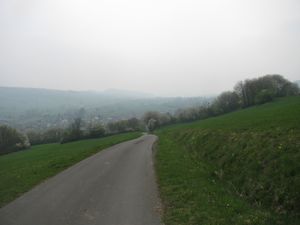
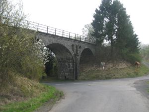
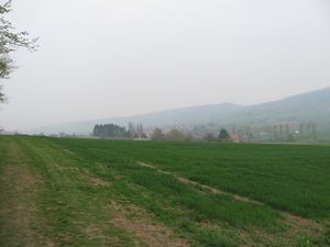
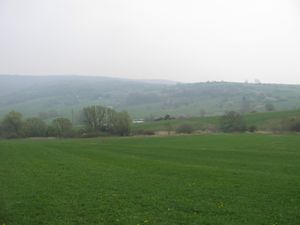
| + | | [[Image:2014-04-05 51 9 GeorgDerReisende 7845.jpg|300px]] || [[Image:2014-04-05 51 9 GeorgDerReisende 7850.jpg|300px]] || Behind the hill I had a first look to Laudenbach. As I passed Laudenbach I had a first look to the railway (here on the bridge). | ||
| + | |- | ||
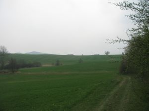
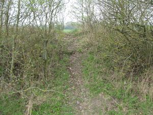
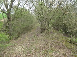
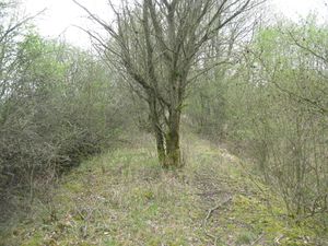
| + | | [[Image:2014-04-05 51 9 GeorgDerReisende 7872.jpg|300px]] || || Then I walked along the track and at least I was able to reach the hash by five meters.<br>Look around: | ||
| + | |- | ||
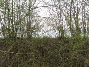
| + | | [[Image:2014-04-05 51 9 GeorgDerReisende 7874.jpg|300px]] to the north || [[Image:2014-04-05 51 9 GeorgDerReisende 7873.jpg|300px]] to the east || [[Image:2014-04-05 51 9 GeorgDerReisende 7875.jpg|300px]] to the south | ||
| + | |- | ||
| + | | [[Image:2014-04-05 51 9 GeorgDerReisende 7877.jpg|300px]] || [[Image:2014-04-05 51 9 GeorgDerReisende 7880.jpg|300px]] || But then I tried to go nearer to the hash, to go into the cut. And 40 meters away I found a small path crossing the railway track and from there I could walk along the track to the hash. | ||
| + | |- | ||
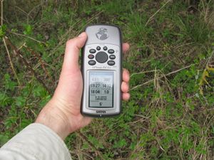
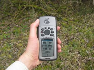
| + | | [[Image:2014-04-05 51 9 GeorgDerReisende 7883.jpg|300px]] || || proof! | ||
| + | |- | ||
| + | | [[Image:2014-04-05 51 9 GeorgDerReisende 7884.jpg|300px]] || [[Image:2014-04-05 51 9 GeorgDerReisende 7885.jpg|300px]] || view to the east and to the south along the track | ||
| + | |- | ||
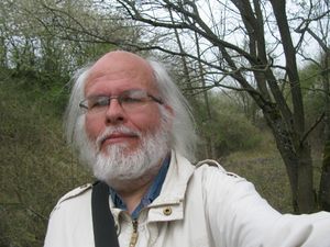
| + | | [[Image:2014-04-05 51 9 GeorgDerReisende 7890.jpg|300px]] || || A grinning geohasher. Behind my left shoulder you see the hashmark. | ||
| + | |- | ||
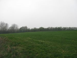
| + | | [[Image:2014-04-05 51 9 GeorgDerReisende 7895.jpg|300px]] || || Then I waited until 16:00 for some friends, but nobody arrived. Then I walked a bit around and here is another view of the hash. | ||
| + | |} | ||
| − | |||
| − | |||
| − | |||
| − | |||
| − | |||
| − | |||
== Achievements == | == Achievements == | ||
| Line 36: | Line 51: | ||
<!-- Add any achievement ribbons you earned below, or remove this section --> | <!-- Add any achievement ribbons you earned below, or remove this section --> | ||
| + | {{XKCD Centurion | count = 11 | name = GeorgDerReisende }} | ||
| − | + | {{Thumbs Up | latitude = 51 | longitude = 9 | date = 2014-04-05 | name = GeorgDerReisende }} | |
| − | |||
| − | |||
| − | + | [[Category:Expeditions]] | |
| − | + | [[Category:Expeditions with photos]] | |
| − | |||
| − | [[Category: | ||
| − | |||
| − | |||
| − | |||
| − | |||
| − | |||
| − | |||
| − | |||
| − | |||
| − | |||
| − | |||
[[Category:Coordinates reached]] | [[Category:Coordinates reached]] | ||
| − | + | {{location|DE|HE|WIZ}} | |
| − | |||
| − | |||
| − | |||
| − | |||
| − | |||
| − | |||
| − | |||
| − | |||
| − | |||
| − | |||
| − | |||
| − | |||
| − | |||
| − | |||
| − | |||
| − | |||
| − | |||
Latest revision as of 06:05, 14 August 2019
| Sat 5 Apr 2014 in 51,9: 51.2257061, 9.8014290 geohashing.info google osm bing/os kml crox |
Location
on an abandoned railway track near Laudenbach
Participants
Plans
I will hitchhike to that place to be there at 16:00 for a xkcd-meetup.
Expedition
Achievements
GeorgDerReisende earned the xkcd Decurion achievement
|
GeorgDerReisende earned the Thumbs Up Geohash Achievement
|
