Difference between revisions of "2014-07-12 51 9"
From Geohashing
imported>GeorgDerReisende (new expedition) |
imported>FippeBot m (Location) |
||
| (2 intermediate revisions by one other user not shown) | |||
| Line 1: | Line 1: | ||
| − | |||
| − | |||
| − | |||
| − | |||
| − | |||
| − | |||
| − | |||
| − | |||
| − | |||
| − | |||
{{meetup graticule | {{meetup graticule | ||
| lat=51 | | lat=51 | ||
| Line 18: | Line 8: | ||
__NOTOC__ | __NOTOC__ | ||
== Location == | == Location == | ||
| − | + | ||
| + | The hash lay on the border between two fields near Einbeck-Odagsen. | ||
== Participants == | == Participants == | ||
| − | + | ||
| − | + | [[User:GeorgDerReisende|GeorgDerReisende]] | |
== Plans == | == Plans == | ||
| − | + | ||
| + | Hitchhiking and walking, as usual. | ||
== Expedition == | == Expedition == | ||
| − | |||
| − | == | + | {| |
| − | < | + | |- |
| + | ! style="width:300px" | !! style="width:300px" | !! style="width:300px" | | ||
| + | |- | ||
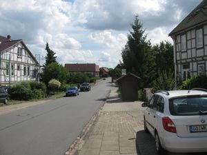
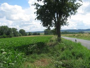
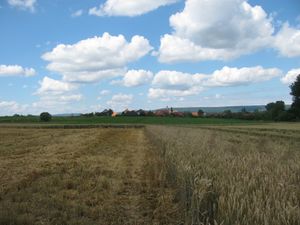
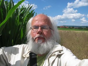
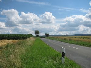
| + | | [[Image:2014-07-12 51 9 GeorgDerReisende 2998.jpg|300px]] || [[Image:2014-07-12 51 9 GeorgDerReisende 3004.jpg|300px]] || I started for the expedition at 12:00, started to hitchhike at 12:55 and got the first lift after 20 minutes. At least I needed three cars to reach the bypass of Einbeck. From there I walked to the hash. Therefor I had to walk along the main street of Odagsen. At the end of Odagsen I had a first view to the hash. | ||
| + | |- | ||
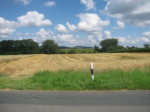
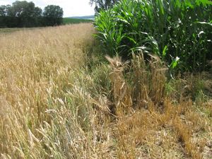
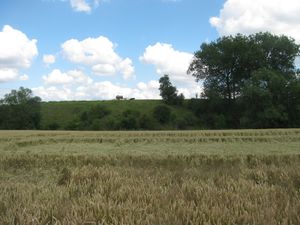
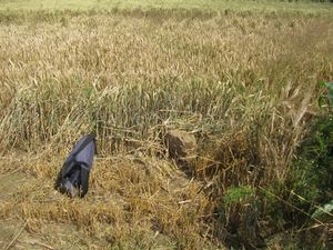
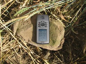
| + | | [[Image:2014-07-12 51 9 GeorgDerReisende 3005.jpg|300px]] || [[Image:2014-07-12 51 9 GeorgDerReisende 3010.jpg|300px]] || I found out, that the harvest was made on the one field, which made it easy to me to walk to near the hash. At the edge of the tree fields I found a border stone, which was the stony certificate to allow me to walk to the hash. I arrived there at 15:25 and waited there until 4 o'clock. | ||
| + | |- | ||
| + | | [[Image:2014-07-12 51 9 GeorgDerReisende 3012.jpg|300px]] view from the stone to the north, Odagsen at the horizon || [[Image:2014-07-12 51 9 GeorgDerReisende 3013.jpg|300px]] view from the stone to the east<br> || [[Image:2014-07-12 51 9 GeorgDerReisende 3014.jpg|300px]] view from the stone to the south and to the hash | ||
| + | |- | ||
| + | | [[Image:2014-07-12 51 9 GeorgDerReisende 3015.jpg|300px]] || || view from the stone to the west | ||
| + | |- | ||
| + | | [[Image:2014-07-12 51 9 GeorgDerReisende 3016.jpg|300px]] || || As I found the stone, it was ploughed down and I raised it back to its constitutional size. | ||
| + | |- | ||
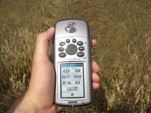
| + | | [[Image:2014-07-12 51 9 GeorgDerReisende 3017.jpg|300px]] || [[Image:2014-07-12 51 9 GeorgDerReisende 3022.jpg|300px]] || At 4 o'clock I walked the twenty or so steps to the hash and after a short dance I found it nearly on the borderline between the two fields. | ||
| + | |- | ||
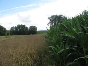
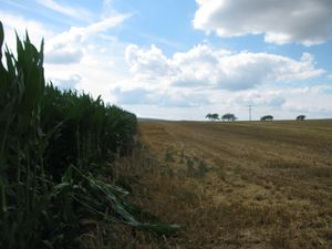
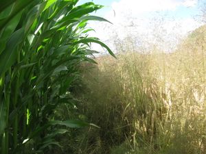
| + | | [[Image:2014-07-12 51 9 GeorgDerReisende 3028.jpg|300px]] || [[Image:2014-07-12 51 9 GeorgDerReisende 3029.jpg|300px]] || While walking along the border I was able to walk between the two fields without damaging any of the wheat or corn plants. At least there was a grin. | ||
| + | |- | ||
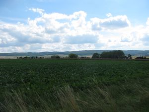
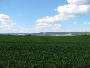
| + | | [[Image:2014-07-12 51 9 GeorgDerReisende 3031.jpg|300px]] || [[Image:2014-07-12 51 9 GeorgDerReisende 3035.jpg|300px]] || Then I returned to the county road. I didn't walk it to Edemissen but back to Odagsen and then I walked through the fields to Salzderhelden for the national road. On the way I looked back and had a view over the small valley, where the hash was in to the mountains behind. | ||
| + | |- | ||
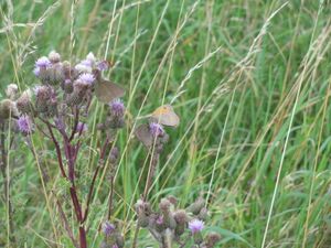
| + | | [[Image:2014-07-12 51 9 GeorgDerReisende 3054.jpg|300px]] || [[Image:2014-07-12 51 9 GeorgDerReisende 3053.jpg|300px]] || Also I had a view to the city of Einbeck and to some beasts of the fields. | ||
| + | |- | ||
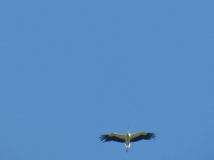
| + | | [[Image:2014-07-12 51 9 GeorgDerReisende 3086.jpg|300px]] || || Later I saw a stork looking for the lonely geohasher. At Salzderhelden I started to hitchhike at 17:30 and I arrived at Kassel at 19:45. | ||
| + | |} | ||
| − | |||
| − | |||
| − | |||
| − | |||
| − | |||
| − | |||
== Achievements == | == Achievements == | ||
| Line 44: | Line 51: | ||
<!-- Add any achievement ribbons you earned below, or remove this section --> | <!-- Add any achievement ribbons you earned below, or remove this section --> | ||
| + | {{Thumbs Up | latitude = 51 | longitude = 9 | date = 2014-07-12 | name = GeorgDerReisende }} | ||
| − | + | {{XKCD Centurion | count = 15 | name = GeorgDerReisende }} | |
| − | |||
| − | |||
| − | + | [[Category:Expeditions]] | |
| − | + | [[Category:Expeditions with photos]] | |
| − | |||
| − | [[Category: | ||
| − | |||
| − | |||
| − | |||
| − | |||
| − | |||
| − | |||
| − | |||
| − | |||
| − | |||
| − | |||
[[Category:Coordinates reached]] | [[Category:Coordinates reached]] | ||
| − | + | {{location|DE|NI|NOM}} | |
| − | |||
| − | |||
| − | |||
| − | |||
| − | |||
| − | |||
| − | |||
| − | |||
| − | |||
| − | |||
| − | |||
| − | |||
| − | |||
| − | |||
| − | |||
| − | |||
| − | |||
Latest revision as of 00:42, 15 August 2019
| Sat 12 Jul 2014 in 51,9: 51.7788637, 9.8703109 geohashing.info google osm bing/os kml crox |
Location
The hash lay on the border between two fields near Einbeck-Odagsen.
Participants
Plans
Hitchhiking and walking, as usual.
Expedition
Achievements
GeorgDerReisende earned the Thumbs Up Geohash Achievement
|
GeorgDerReisende earned the xkcd Decurion achievement
|
