Difference between revisions of "2014-09-10 48 16"
imported>B2c |
imported>FippeBot m (Location) |
||
| (One intermediate revision by one other user not shown) | |||
| Line 98: | Line 98: | ||
}} | }} | ||
| − | |||
| − | |||
[[Category:Expeditions]] | [[Category:Expeditions]] | ||
[[Category:Expeditions with photos]] | [[Category:Expeditions with photos]] | ||
[[Category:Coordinates reached]] | [[Category:Coordinates reached]] | ||
| + | {{location|AT|NÖ|TU}} | ||
Latest revision as of 01:21, 15 August 2019
| Wed 10 Sep 2014 in 48,16: 48.3448823, 16.1413950 geohashing.info google osm bing/os kml crox |
Location
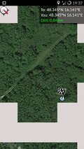
The hashpoint was located west of Vienna in the Tullner Au, which turned out to be in a restricted area.
Participants
Plans
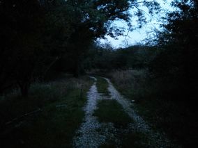
A quick research of the google maps satelite image made the hashpoint appear as if it was easily accessible at the end of a dirt track, about a hundred meters into the woods. Well, the best laid schemes of mice and men...
Expedition
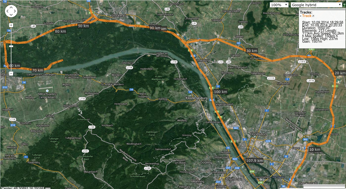
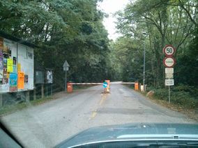
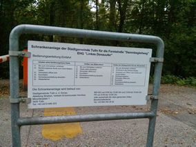
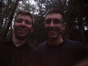
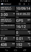
Patrizius and b2c met at the parking garage, entered the hashmobile and quickly managed to get to the motorway. B2c also quickly managed to take wrong turns twice, as he was somehow distracted today. The tracklog says it all. As they finally reached the small alleyway that would finally lead towards the hashpoint, they where confronted with a turnpike - access was only granted with a special key or swipe card, both of which they didn't have. After driving around for a couple of minutes in search of an alternative entry they gave up as there seemed to be none around. Patrizius was checking the geohash droid app in the meanwhile as they possibly would have to drive to another hashpoint. However the next best hash turned out to be more than one and a half hour away which didn't seem like an option to them at that point. They decided to wait. Perhaps there would be a possibility to sneak in behind another car if the turnpike didn't close too fast?
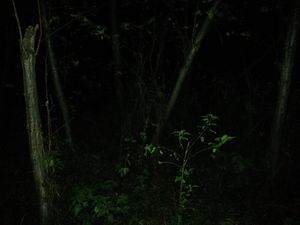
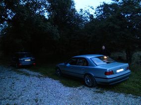
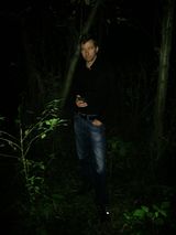
As it happens another car passed by after like 5 minutes and they managed to quickly pass the turnpike in the slipstream of the other car! Whoa, close call! Now they could proceed to the hashpoint which was still 7 kilometers away. After a couple of minutes they parked the car as the hash seemed to be in some nearby woods. After some crawling around in the shrubbery, evading boars and game, they reached the hash. Happy to leave the hash just before sundown they walked back to the car, only to find a park ranger waiting for them. After some nasty question what exactly they where doing here and being lectured that this was a wildlife sanctuary and they had absolutely no business here in the middle of the mating season they quickly vacated the premises.
Note: Really, some people don't get the importance of geohashing. Too bad we could't take pictures of the guy because he was already pretty upset and we didn't want to tip him over the edge.
Tracklog
Photos
- Photo Gallery
Achievements
- B2c
B2c earned the Restricted area achievement
|
B2c earned the Police Geohash Achievement
|
B2c earned the Consecutive geohash achievement
|
- Patrizius
Patrizius earned the Restricted area achievement
|
Patrizius earned the Police Geohash Achievement
|
Patrizius earned the Consecutive geohash achievement
|
