Difference between revisions of "2014-09-11 47 16"
imported>FippeBot m (Location) |
m (Location correction) |
||
| Line 57: | Line 57: | ||
[[Category:Expeditions with photos]] | [[Category:Expeditions with photos]] | ||
[[Category:Coordinates reached]] | [[Category:Coordinates reached]] | ||
| − | {{location|AT|NÖ| | + | {{location|AT|NÖ|WB}} |
Latest revision as of 20:25, 16 May 2020
| Thu 11 Sep 2014 in 47,16: 47.9016011, 16.1882977 geohashing.info google osm bing/os kml crox |
Location
We were pretty happy with the location of the hash, judging from the satellite images. It came to be in a meadow right off the main street of a village called Enzesfeld. And best of all, it wasn't too far off the motorway either.
Participants
Plans
The plan was to take the hashmobile down to Enzesfeld via the A2 (Südautobahn), grab the hash with the engine running and be gone before anybody notices. After our encounter with the angry park ranger yesterday, we were eager not to stir up trouble this time.
Expedition
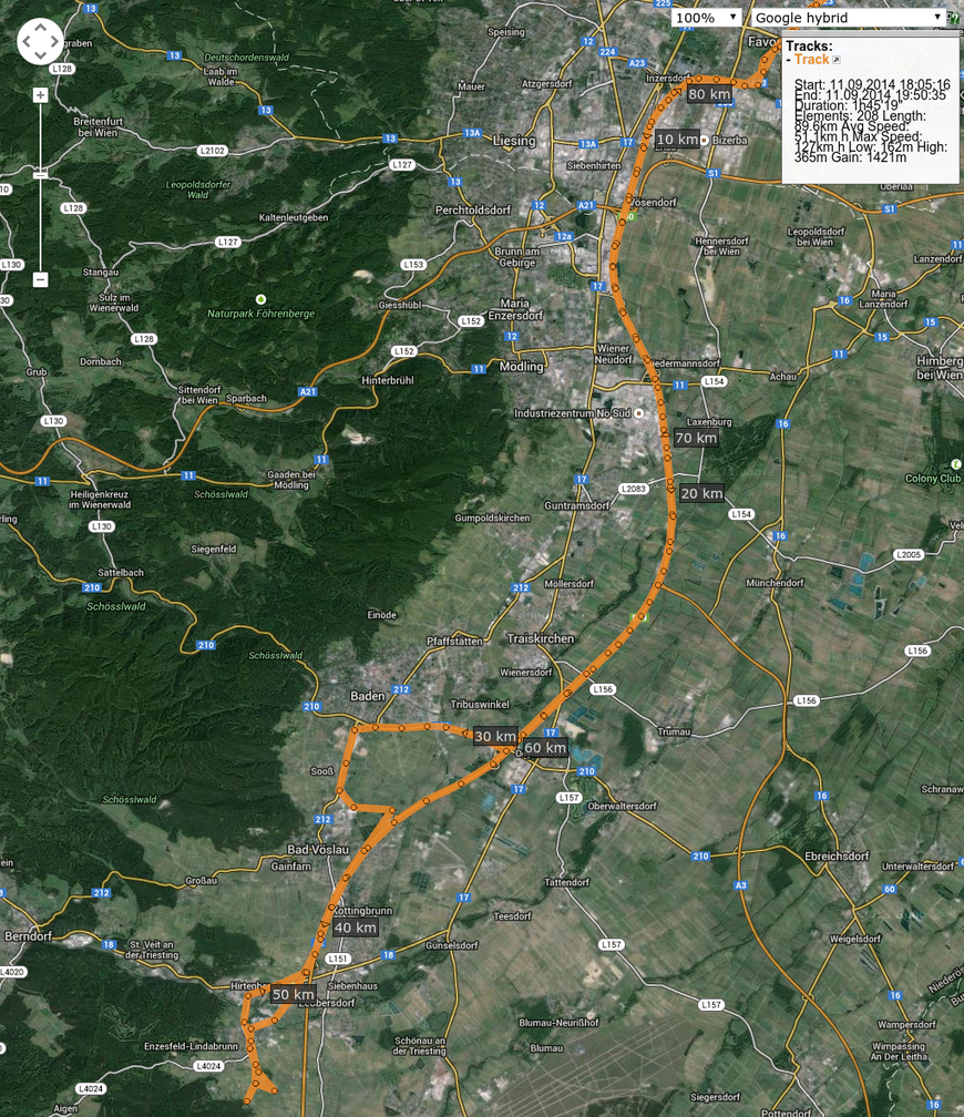
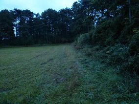
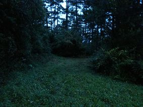
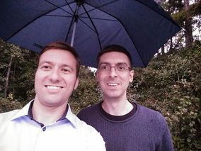
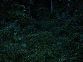
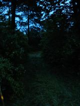
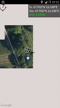
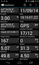
We started out at the hashcave and made pretty good time considering the bad weather and the traffic. Unfortunately we left the motorway one exit short, but after a nice little detour (see tracklog) we were back on track. At the hashsite we tried to approach the hash directly from the "road", as usual. As it happened it was impossible to get through this thick hedge of plants-armed-with-thorns. B2c found another way around this hedge, which led us directly to the spot. After a couple of quick photos in the rain, we returned to the car and set sail.
Tracklog
Photos
- Photo Gallery
Achievements
B2c earned the Consecutive geohash achievement
|
Patrizius earned the Consecutive geohash achievement
|
