Difference between revisions of "2014-11-08 50 10"
From Geohashing
imported>Reinhard (report) |
m (Location correction) |
||
| (One intermediate revision by one other user not shown) | |||
| Line 25: | Line 25: | ||
[[Category:Expeditions with photos]] | [[Category:Expeditions with photos]] | ||
[[Category:Coordinates reached]] | [[Category:Coordinates reached]] | ||
| + | {{location|DE|TH|SHL}} | ||
Latest revision as of 20:26, 16 May 2020
| Sat 8 Nov 2014 in 50,10: 50.6577619, 10.7020348 geohashing.info google osm bing/os kml crox |
Location
Close to a forest road near Suhl and Zella-Mehlis.
Participants
Expedition
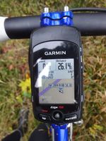
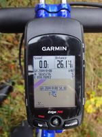
Planned a bike trip anyway and this hash had a good distance for a 63 km ride with a beautiful ascent from Zella-Mehlis towards Oberhof and a long decent in the end. Hash could easily be reached by leaving paved roads and following a forest road for about 1 km. The hashpoint could be found just beside the road.
Photos
|


