Difference between revisions of "2015-01-01 51 9"
From Geohashing
imported>GeorgDerReisende (create page) |
m (Location correction) |
||
| (2 intermediate revisions by 2 users not shown) | |||
| Line 1: | Line 1: | ||
| − | |||
| − | |||
| − | |||
| − | |||
| − | |||
| − | |||
| − | |||
| − | |||
| − | |||
| − | |||
{{meetup graticule | {{meetup graticule | ||
| lat=51 | | lat=51 | ||
| Line 18: | Line 8: | ||
__NOTOC__ | __NOTOC__ | ||
== Location == | == Location == | ||
| − | + | ||
| + | The hash lay in the forest Habichtswald west of Kassel. | ||
== Participants == | == Participants == | ||
| − | + | ||
| − | + | [[User:GeorgDerReisende|GeorgDerReisende]] | |
== Plans == | == Plans == | ||
| − | + | ||
| + | I wanted to travel by bus to the Habichtswald, then walking to the hash. | ||
== Expedition == | == Expedition == | ||
| − | |||
| − | == | + | {| |
| − | + | |- | |
| + | ! style="width:300px" | !! style="width:300px" | !! style="width:300px" | | ||
| + | |- | ||
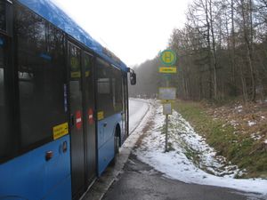
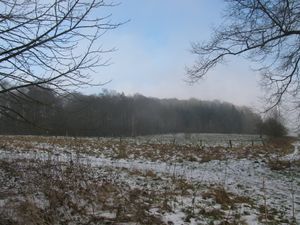
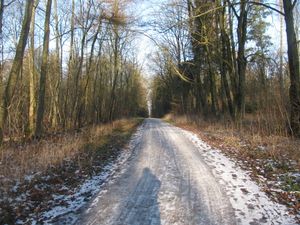
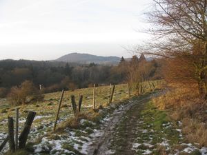
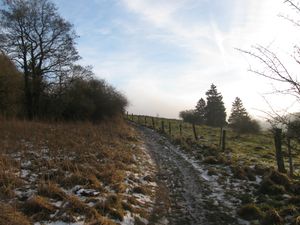
| + | | [[Image:2015-01-01 51 9 GeorgDerReisende 1286.jpg|300px]] || [[Image:2015-01-01 51 9 GeorgDerReisende 1291.jpg|300px]] || I left home at one o'clock. Took the tram 3 until its terminus Druseltal and then the bus 22 to the stop Loipenhaus. There I started to walk. Across a meadow beneath I saw some last shades of fog, blowing away by the wind. | ||
| + | |- | ||
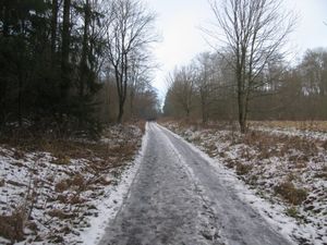
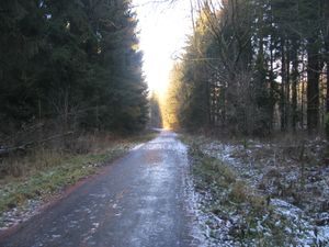
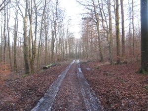
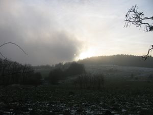
| + | | [[Image:2015-01-01 51 9 GeorgDerReisende 1292.jpg|300px]] || [[Image:2015-01-01 51 9 GeorgDerReisende 1297.jpg|300px]] || This was the today's quality of the forest paths. Snow and ice. Always experienced with muddy forest ways, this was some total else. Another type of walking. Don't looking to the way and slip... Looking at the way and seeing the different sorts of white and understanding the different sorts of danger. Switch from the middle of the path to its side and back. | ||
| + | |- | ||
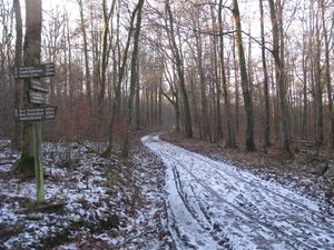
| + | | [[Image:2015-01-01 51 9 GeorgDerReisende 1306.jpg|300px]] || || But I made it. Now 600 meters to hash, but one mile of walking. | ||
| + | |- | ||
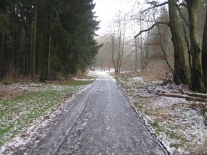
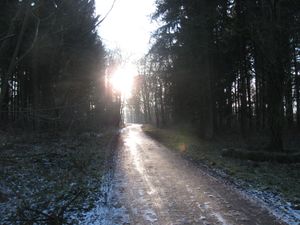
| + | | [[Image:2015-01-01 51 9 GeorgDerReisende 1307.jpg|300px]] || [[Image:2015-01-01 51 9 GeorgDerReisende 1308.jpg|300px]] || Another forest way, now tarred, going downhill. Some icy portions. Now laying in the sun, I thought for my way back, there might be ice, after the sun went away. | ||
| + | |- | ||
| + | | [[Image:2015-01-01 51 9 GeorgDerReisende 1312.jpg|300px]] || || Then this way. What will it look like in spring or in summer? Today it was a less muddy way, because the ground and the pavement were frozen. Good to walk. Bad in summer. Or after the melt. | ||
| + | |- | ||
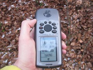
| + | | [[Image:2015-01-01 51 9 GeorgDerReisende 1316.jpg|300px]] || [[Image:2015-01-01 51 9 GeorgDerReisende 1318.jpg|300px]] || Now 60 meters to go. Across a small meadow, would be very wet in summer, today there was only frozen grass. And I made it. | ||
| + | |- | ||
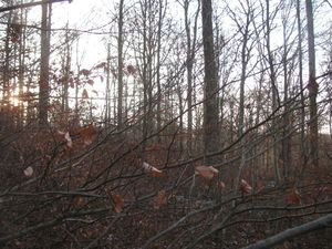
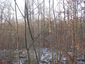
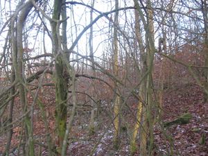
| + | | [[Image:2015-01-01 51 9 GeorgDerReisende 1319.jpg|300px]] || [[Image:2015-01-01 51 9 GeorgDerReisende 1320.jpg|300px]] || Looking to the south, and to the west. | ||
| + | |- | ||
| + | | [[Image:2015-01-01 51 9 GeorgDerReisende 1321.jpg|300px]] || [[Image:2015-01-01 51 9 GeorgDerReisende 1322.jpg|300px]] || The north and the east. | ||
| + | |- | ||
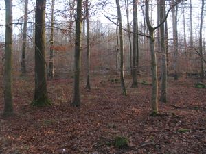
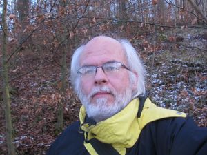
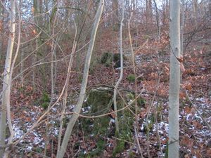
| + | | [[Image:2015-01-01 51 9 GeorgDerReisende 1323.jpg|300px]] || [[Image:2015-01-01 51 9 GeorgDerReisende 1324.jpg|300px]] || The geohasher of this place. The hash lay one meter behind the stump in front. | ||
| + | |- | ||
| + | | [[Image:2015-01-01 51 9 GeorgDerReisende 1327.jpg|300px]] || || While walking to the hash, this way looked less dangerous. But it was the same. | ||
| + | |- | ||
| + | | [[Image:2015-01-01 51 9 GeorgDerReisende 1335.jpg|300px]] || [[Image:2015-01-01 51 9 GeorgDerReisende 1334.jpg|300px]] || On the way back I had a good overview to the landscape. | ||
| + | |- | ||
| + | | [[Image:2015-01-01 51 9 GeorgDerReisende 1344.jpg|300px]] || || At least the fog came back. | ||
| + | |} | ||
| − | |||
| − | |||
| − | |||
| − | |||
| − | |||
| − | |||
== Achievements == | == Achievements == | ||
| Line 44: | Line 55: | ||
<!-- Add any achievement ribbons you earned below, or remove this section --> | <!-- Add any achievement ribbons you earned below, or remove this section --> | ||
| + | {{land geohash | latitude = 51 | longitude = 9 | date = 2015-01-01 | name = GeorgDerReisende }} | ||
| − | + | [[Category:Expeditions]] | |
| − | |||
| − | [[Category: | ||
| − | + | [[Category:Expeditions with photos]] | |
| − | |||
| − | |||
| − | |||
| − | [[Category: | ||
| − | |||
| − | |||
| − | |||
| − | |||
| − | |||
| − | |||
| − | |||
| − | |||
| − | |||
| − | |||
[[Category:Coordinates reached]] | [[Category:Coordinates reached]] | ||
| − | + | {{location|DE|HE|KS|city=true}} | |
| − | |||
| − | |||
| − | |||
| − | |||
| − | |||
| − | |||
| − | |||
| − | |||
| − | |||
| − | |||
| − | |||
| − | |||
| − | |||
| − | |||
| − | |||
| − | |||
| − | |||
Latest revision as of 20:27, 16 May 2020
| Thu 1 Jan 2015 in 51,9: 51.3362715, 9.3794324 geohashing.info google osm bing/os kml crox |
Location
The hash lay in the forest Habichtswald west of Kassel.
Participants
Plans
I wanted to travel by bus to the Habichtswald, then walking to the hash.
Expedition
Achievements
GeorgDerReisende earned the Land geohash achievement
|
