Difference between revisions of "2016-04-04 51 9"
From Geohashing
imported>GeorgDerReisende (expedition report for Witzenhausen-Dohrenbach (2)) |
imported>FippeBot m (Location) |
||
| (One intermediate revision by one other user not shown) | |||
| Line 44: | Line 44: | ||
{{Easy_geohash | latitude = 51 | longitude = 9 | date = 2016-04-04 | name = GeorgDerReisende }} | {{Easy_geohash | latitude = 51 | longitude = 9 | date = 2016-04-04 | name = GeorgDerReisende }} | ||
| + | |||
| + | {{OpenStreetMap achievement | latitude = 51 | longitude = 9 | date = 2016-04-04 | OSMlink = 38454195 }} | ||
[[Category:Expeditions]] | [[Category:Expeditions]] | ||
| Line 50: | Line 52: | ||
[[Category:Coordinates reached]] | [[Category:Coordinates reached]] | ||
| + | {{location|DE|HE|WIZ}} | ||
Latest revision as of 00:07, 16 August 2019
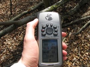
| Mon 4 Apr 2016 in 51,9: 51.3055926, 9.8213584 geohashing.info google osm bing/os kml crox |
Location
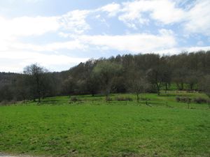
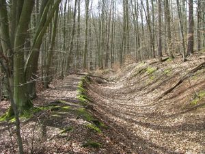
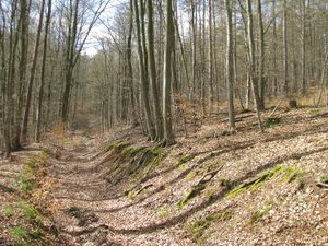
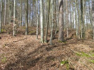
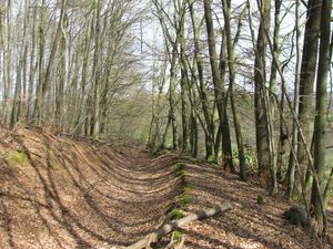
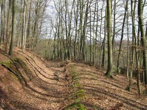
Today's hash lay on the edge of a defile in a forest near Dohrenbach.
Participants
Plans
Hitchhiking and walking.
Expedition
Achievements
GeorgDerReisende has visited an Easy Geohash
|
This user earned the OpenStreetMap achievement
|
