Difference between revisions of "2016-05-07 51 9"
From Geohashing
imported>GeorgDerReisende (new expedition to Meißner-Wolfterode) |
imported>FippeBot m (Location) |
||
| (2 intermediate revisions by one other user not shown) | |||
| Line 23: | Line 23: | ||
== Plans == | == Plans == | ||
| − | Hitchhiking and walking. | + | Hitchhiking and walking. I want to be there at hash o'clock. |
== Expedition == | == Expedition == | ||
| − | |||
| − | == | + | {| |
| − | + | |- | |
| − | + | ! style="width:300px" | !! style="width:300px" | !! style="width:300px" | | |
| − | + | |- | |
| − | + | | colspan = 3 | I started at home at one o'clock and started to hitchhike at 13:30. After some minutes a Corvette stopped. Because my destination was Vockerode, the driver took the road across the Hoher Meißner mountains. On the top, the mountains didn't look special. | |
| − | Image: | + | |- |
| − | -- | + | | [[Image:2016-05-07 51 9 GeorgDerReisende 2054.jpg | 300px ]] || [[Image:2016-05-07 51 9 GeorgDerReisende 2055.jpg | 300px ]] || [[Image:2016-05-07 51 9 GeorgDerReisende 2056.jpg | 300px ]] |
| − | + | |- | |
| − | + | | colspan = 2 | [[Image:2016-05-07 51 9 GeorgDerReisende 2062_2063.jpg | 600px ]] || [[Image:2016-05-07 51 9 GeorgDerReisende 2071.jpg | 300px ]] | |
| + | |- | ||
| + | | colspan = 3 | But on the other side of the mountains, there was a viewing point. The driver stopped and I had a good view of the area of research with the hash. Wolfterode lies at the left, Vockerode is right down and Abterode is above of it. Additionally I had a detailed view to the hash area: Wolfterode at the left and the hash at the right. | ||
| + | |- | ||
| + | | [[Image:2016-05-07 51 9 GeorgDerReisende 2081.jpg | 300px ]] || [[Image:2016-05-07 51 9 GeorgDerReisende 2082.jpg | 300px ]] || That was the car. | ||
| + | |- | ||
| + | | [[Image:2016-05-07 51 9 GeorgDerReisende 2124.jpg | 300px ]] || [[Image:2016-05-07 51 9 GeorgDerReisende 2132.jpg | 300px ]] || I left Vockerode on the wrong side, and as I noticed this, I took the next fieldway and found some not mapped grassy fieldways, leading my direct to the hash. There was a valley between me and the hash, but I found a bridge. | ||
| + | |- | ||
| + | | [[Image:2016-05-07 51 9 GeorgDerReisende 2140.jpg | 300px ]] || [[Image:2016-05-07 51 9 GeorgDerReisende 2151.jpg | 300px ]] || At the height of the hash I left the way and walked along the row of trees to the hash. I found it without a dance. And I looked around. | ||
| + | |- | ||
| + | | [[Image:2016-05-07 51 9 GeorgDerReisende 2153.jpg | 300px ]] to the north, || [[Image:2016-05-07 51 9 GeorgDerReisende 2154.jpg | 300px ]] to the west, || [[Image:2016-05-07 51 9 GeorgDerReisende 2155.jpg | 300px ]] to the south, | ||
| + | |- | ||
| + | | [[Image:2016-05-07 51 9 GeorgDerReisende 2156.jpg | 300px ]] to the east || [[Image:2016-05-07 51 9 GeorgDerReisende 2158.jpg | 300px ]] and to the geohasher. || | ||
| + | |- | ||
| + | | [[Image:2016-05-07 51 9 GeorgDerReisende 2162.jpg | 300px ]] || [[Image:2016-05-07 51 9 GeorgDerReisende 2167.jpg | 300px ]] || But I arrived at the hash one hour too early. So I had to wait for hash o'clock and for other geohashers to come. I sat under one of these wonderful apple trees and waited. The time came, but the geohashers didn't. | ||
| + | |- | ||
| + | | [[Image:2016-05-07 51 9 GeorgDerReisende 2169.jpg | 300px ]] || [[Image:2016-05-07 51 9 GeorgDerReisende 2185.jpg | 300px ]] || I had a view to the countryside and to the plants. And to some animals, but I couldn't take photos of them. | ||
| + | |- | ||
| + | | [[Image:2016-05-07 51 9 GeorgDerReisende 2192.jpg | 300px ]] || [[Image:2016-05-07 51 9 GeorgDerReisende 2202.jpg | 300px ]] || After hash o'clock I left the place. At first I had a view from above, similar like at [[2015-06-23 51 9]], and then I looked for a way home. The first thing, what I saw, was this not-so-veloci-but-raptor, which tried to kill animals, plants and geohashers. On the way I tried to walk outside of sight, but the wind came from the wrong side and sometimes I felt something chemical in the air. But at least I could start to hitchhike at Abterode at 18:00 and with five cars I arrived home at 20:30. | ||
| + | |} | ||
== Achievements == | == Achievements == | ||
| Line 42: | Line 60: | ||
<!-- Add any achievement ribbons you earned below, or remove this section --> | <!-- Add any achievement ribbons you earned below, or remove this section --> | ||
| − | + | {{Thumbs Up | latitude = 51 | longitude = 9 | date = 2016-05-07 | name = GeorgDerReisende }} | |
| − | |||
| − | |||
| − | + | {{XKCD Centurion | count = 28 | name = GeorgDerReisende }} | |
| − | + | {{OpenStreetMap achievement | latitude = 51 | longitude = 9 | date = 2016-05-07 | OSMlink = 39176867 }} | |
| − | |||
[[Category:Expeditions]] | [[Category:Expeditions]] | ||
| − | + | ||
[[Category:Expeditions with photos]] | [[Category:Expeditions with photos]] | ||
| − | + | ||
| − | |||
| − | |||
| − | |||
| − | |||
[[Category:Coordinates reached]] | [[Category:Coordinates reached]] | ||
| − | + | {{location|DE|HE|WIZ}} | |
| − | |||
| − | |||
| − | |||
| − | |||
| − | |||
| − | |||
| − | |||
| − | |||
| − | |||
| − | |||
| − | |||
| − | |||
| − | |||
| − | |||
| − | |||
| − | |||
| − | |||
Latest revision as of 00:27, 16 August 2019
| Sat 7 May 2016 in 51,9: 51.2197150, 9.9132433 geohashing.info google osm bing/os kml crox |
Location
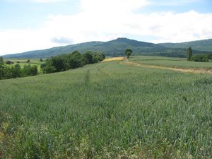 |
The hash lies on the southern edge of a field near Wolfterode. I had been on the same field on 2015-06-23 51 9, but had no luck. The hash of 2015-06-23 51 9 lay 17 meters to the left in the field from the right way, today's hash lies two meters left of the left edge. |
Participants
Plans
Hitchhiking and walking. I want to be there at hash o'clock.
Expedition
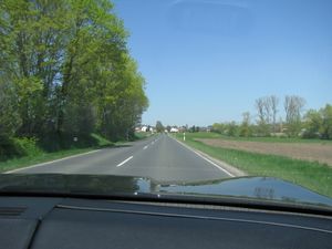
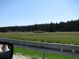
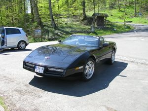
| I started at home at one o'clock and started to hitchhike at 13:30. After some minutes a Corvette stopped. Because my destination was Vockerode, the driver took the road across the Hoher Meißner mountains. On the top, the mountains didn't look special. | ||
 |
 |
|
 |
| |
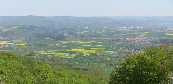
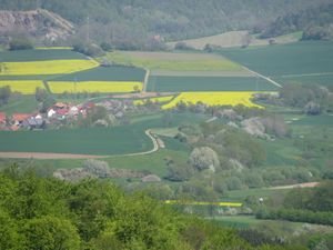
| But on the other side of the mountains, there was a viewing point. The driver stopped and I had a good view of the area of research with the hash. Wolfterode lies at the left, Vockerode is right down and Abterode is above of it. Additionally I had a detailed view to the hash area: Wolfterode at the left and the hash at the right. | ||
 |
 |
That was the car. |
 |
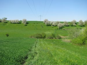 |
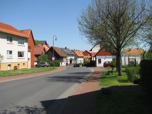
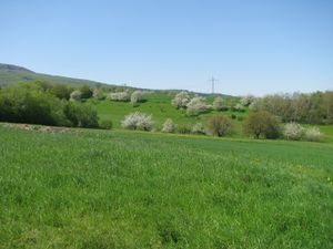
I left Vockerode on the wrong side, and as I noticed this, I took the next fieldway and found some not mapped grassy fieldways, leading my direct to the hash. There was a valley between me and the hash, but I found a bridge. |
 |
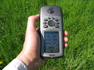 |
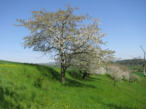
At the height of the hash I left the way and walked along the row of trees to the hash. I found it without a dance. And I looked around. |
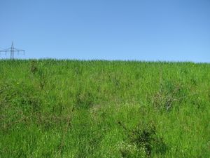 to the north, to the north, |
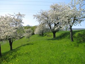 to the west, to the west, |
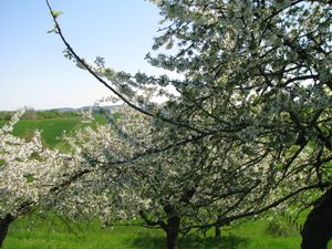 to the south, to the south,
|
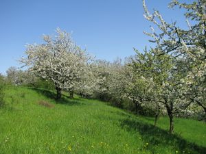 to the east to the east |
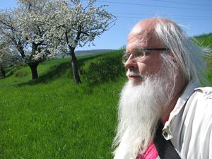 and to the geohasher. and to the geohasher. |
|
 |
 |
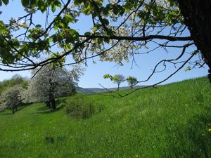
But I arrived at the hash one hour too early. So I had to wait for hash o'clock and for other geohashers to come. I sat under one of these wonderful apple trees and waited. The time came, but the geohashers didn't. |
 |
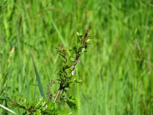 |
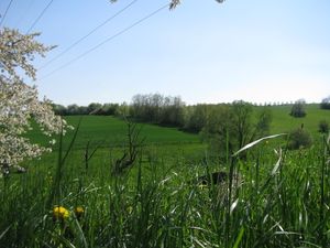
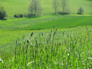
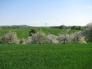
I had a view to the countryside and to the plants. And to some animals, but I couldn't take photos of them. |
 |
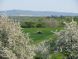 |
After hash o'clock I left the place. At first I had a view from above, similar like at 2015-06-23 51 9, and then I looked for a way home. The first thing, what I saw, was this not-so-veloci-but-raptor, which tried to kill animals, plants and geohashers. On the way I tried to walk outside of sight, but the wind came from the wrong side and sometimes I felt something chemical in the air. But at least I could start to hitchhike at Abterode at 18:00 and with five cars I arrived home at 20:30. |
Achievements
GeorgDerReisende earned the Thumbs Up Geohash Achievement
|
GeorgDerReisende earned the xkcd Viginturion achievement
|
This user earned the OpenStreetMap achievement
|