Difference between revisions of "2016-05-28 53 10"
From Geohashing
imported>GeorgDerReisende (new report) |
imported>FippeBot m (Location) |
||
| (One intermediate revision by one other user not shown) | |||
| Line 1: | Line 1: | ||
| − | |||
| − | |||
| − | |||
| − | |||
| − | |||
| − | |||
| − | |||
| − | |||
| − | |||
| − | |||
{{meetup graticule | {{meetup graticule | ||
| lat=53 | | lat=53 | ||
| Line 19: | Line 9: | ||
== Location == | == Location == | ||
| − | + | ||
| + | The hash lay on a meadow near the village Steinbek. | ||
== Participants == | == Participants == | ||
| − | + | ||
| − | + | [[User:GeorgDerReisende|GeorgDerReisende]] | |
== Plans == | == Plans == | ||
| − | + | ||
| + | Staying in Lübeck I found out, that there was a reachable hash. I wanted to hitchhike. | ||
== Expedition == | == Expedition == | ||
| − | |||
| − | == | + | {| |
| − | + | |- | |
| − | + | ! style="width:300px" | !! style="width:300px" | !! style="width:300px" | | |
| − | + | |- | |
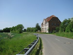
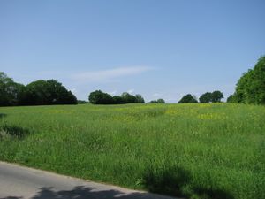
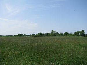
| − | + | | [[Image:2016-05-28 53 10 GeorgDerReisende 3979.jpg | 300px ]] || [[Image:2016-05-28 53 10 GeorgDerReisende 3991.jpg | 300px ]] || I started to hitchhike at Lübeck and ended at Langniendorf. Then I walked 7 1/2 kilometers to the hash. At the end I found some abandoned houses with a bus stop. Behind the houses I found this field with the hash behind. | |
| − | Image: | + | |- |
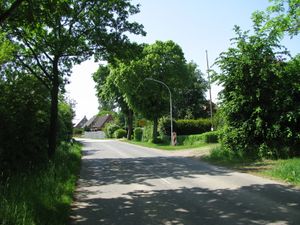
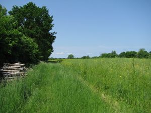
| − | -- | + | | [[Image:2016-05-28 53 10 GeorgDerReisende 3993.jpg | 300px ]] || [[Image:2016-05-28 53 10 GeorgDerReisende 3996.jpg | 300px ]] || The field way to the hash started just at the beginning of the village. Along the field way I fought through thistles and nettles. |
| − | + | |- | |
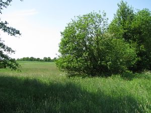
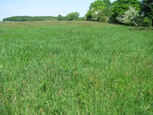
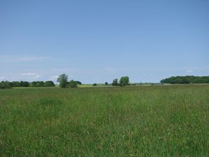
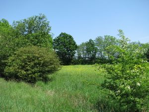
| − | + | | [[Image:2016-05-28 53 10 GeorgDerReisende 3999.jpg | 300px ]] || [[Image:2016-05-28 53 10 GeorgDerReisende 4004.jpg | 300px ]] || But at the end I found a big meadow with islands of reed in it. On the way to the hash I walked around such an island, because I thought, this area could be wet. | |
| + | |- | ||
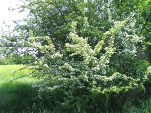
| + | | [[Image:2016-05-28 53 10 GeorgDerReisende 4005.jpg | 300px ]] || [[Image:2016-05-28 53 10 GeorgDerReisende 4008.jpg | 300px ]] || Behind this island of reed I could walk straight to the hash. No need for a dance. And I looked around: | ||
| + | |- | ||
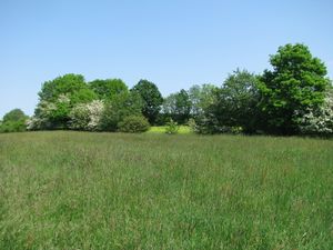
| + | | [[Image:2016-05-28 53 10 GeorgDerReisende 4009.jpg | 300px ]] to the west || [[Image:2016-05-28 53 10 GeorgDerReisende 4010.jpg | 300px ]] to the north || [[Image:2016-05-28 53 10 GeorgDerReisende 4011.jpg | 300px ]] to the east | ||
| + | |- | ||
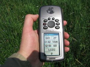
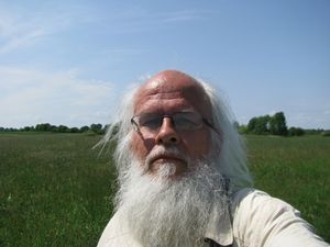
| + | | [[Image:2016-05-28 53 10 GeorgDerReisende 4012.jpg | 300px ]] and to the south. || [[Image:2016-05-28 53 10 GeorgDerReisende 4014.jpg | 300px ]] This is the geohasher. || | ||
| + | |} | ||
== Achievements == | == Achievements == | ||
| Line 45: | Line 43: | ||
<!-- Add any achievement ribbons you earned below, or remove this section --> | <!-- Add any achievement ribbons you earned below, or remove this section --> | ||
| − | + | {{land geohash | latitude = 53 | longitude = 10 | date = 2016-05-28 | name = GeorgDerReisende }} | |
| − | |||
| − | |||
| − | + | {{Two to the N achievement | count = 8 | date = 2016-05-28 | latitude = 53 | longitude = 10 | name = GeorgDerReisende | reached = true }} | |
| − | |||
| − | |||
| − | -- | ||
| − | + | [[Category:Expeditions]] | |
| − | |||
| − | |||
| − | |||
[[Category:Expeditions with photos]] | [[Category:Expeditions with photos]] | ||
| − | + | ||
| − | |||
| − | |||
| − | |||
| − | |||
[[Category:Coordinates reached]] | [[Category:Coordinates reached]] | ||
| − | + | {{location|DE|SH|SE}} | |
| − | |||
| − | |||
| − | |||
| − | |||
| − | |||
| − | |||
| − | |||
| − | |||
| − | |||
| − | |||
| − | |||
| − | |||
| − | |||
| − | |||
| − | |||
| − | |||
| − | |||
Latest revision as of 00:38, 16 August 2019
| Sat 28 May 2016 in 53,10: 53.9265268, 10.4076102 geohashing.info google osm bing/os kml crox |
Location
The hash lay on a meadow near the village Steinbek.
Participants
Plans
Staying in Lübeck I found out, that there was a reachable hash. I wanted to hitchhike.
Expedition
Achievements
GeorgDerReisende earned the Land geohash achievement
|
GeorgDerReisende earned the Two to the N achievement
|
