Difference between revisions of "2016-08-27 51 9"
From Geohashing
imported>GeorgDerReisende (new report) |
imported>FippeBot m (Location) |
||
| (One intermediate revision by one other user not shown) | |||
| Line 1: | Line 1: | ||
| − | |||
| − | |||
| − | |||
| − | |||
| − | |||
| − | |||
| − | |||
| − | |||
| − | |||
| − | |||
{{meetup graticule | {{meetup graticule | ||
| lat=51 | | lat=51 | ||
| Line 19: | Line 9: | ||
== Location == | == Location == | ||
| − | + | ||
| + | The hash lay on the northern side of the Schöneberg hill near Hofgeismar-Hümme. | ||
== Participants == | == Participants == | ||
| − | + | ||
| − | + | [[User:GeorgDerReisende|GeorgDerReisende]] | |
== Plans == | == Plans == | ||
| − | + | ||
| + | Hitchhiking and walking. | ||
== Expedition == | == Expedition == | ||
| − | |||
| − | == | + | {| |
| − | + | |- | |
| − | + | ! style="width:300px" | !! style="width:300px" | !! style="width:300px" | | |
| − | + | |- | |
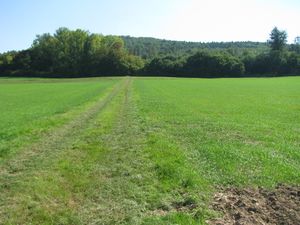
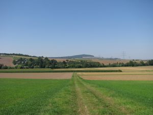
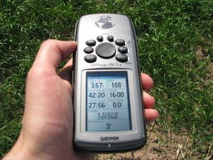
| − | + | | [[Image:2016-08-27 51 9 GeorgDerReisende 2830.jpg | 300px ]] || || I left home at 12:40 and started to hitchhike at the beginning of the national road 83 at 14:00. Forty minutes later I arrived at Hümme. I walked to the hash and arrived at a field with young plants. | |
| − | Image: | + | |- |
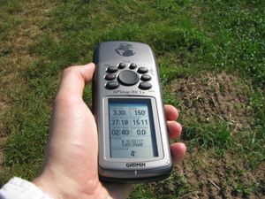
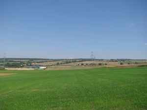
| − | -- | + | | [[Image:2016-08-27 51 9 GeorgDerReisende 2833.jpg | 300px ]] || [[Image:2016-08-27 51 9 GeorgDerReisende 2834.jpg | 300px ]] || The hash lay four meters in the field, which is enough for a count. And I looked around: |
| − | + | |- | |
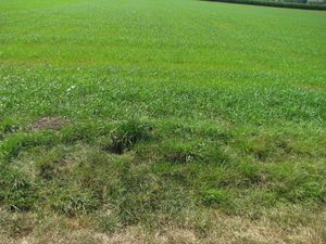
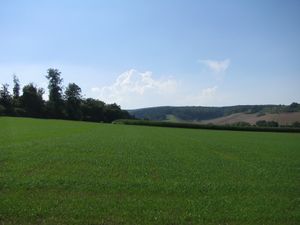
| − | + | | [[Image:2016-08-27 51 9 GeorgDerReisende 2835.jpg | 300px ]] to the west || [[Image:2016-08-27 51 9 GeorgDerReisende 2836.jpg | 300px ]] to the north || [[Image:2016-08-27 51 9 GeorgDerReisende 2837.jpg | 300px ]] to the east | |
| + | |- | ||
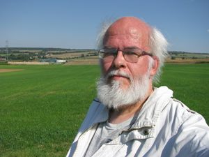
| + | | [[Image:2016-08-27 51 9 GeorgDerReisende 2838.jpg | 300px ]] to the Schöneberg hill, the south || [[Image:2016-08-27 51 9 GeorgDerReisende 2839.jpg | 300px ]] the geohasher. || | ||
| + | |- | ||
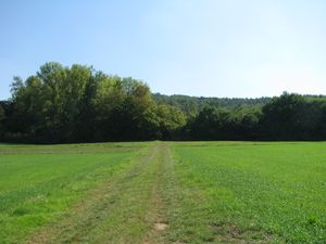
| + | | [[Image:2016-08-27 51 9 GeorgDerReisende 2885.jpg | 300px ]] || || Then I walked to the forest to get some shadow while I waited for hash o'clock. At hash o'clock I returned to the hash. | ||
| + | |- | ||
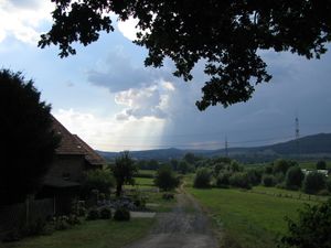
| + | | [[Image:2016-08-27 51 9 GeorgDerReisende 2927.jpg | 300px ]] || [[Image:2016-08-27 51 9 GeorgDerReisende 2936.jpg | 300px ]] || After the hash I walked to Schöneberg for hitchhiking home. It was very hot and I had not enough water, I got some more at an ice cream shop. Shortly before I started to travel home the sun vanished and big clouds arrived. In Kassel I had a view to a public thermometer and it showed 33° (Celsius). | ||
| + | |} | ||
== Achievements == | == Achievements == | ||
| Line 45: | Line 43: | ||
<!-- Add any achievement ribbons you earned below, or remove this section --> | <!-- Add any achievement ribbons you earned below, or remove this section --> | ||
| − | + | {{Thumbs Up | latitude = 51 | longitude = 9 | date = 2016-08-27 | name = GeorgDerReisende }} | |
| − | |||
| − | |||
| − | + | {{XKCD Centurion | count = 33 | name = GeorgDerReisende }} | |
| − | + | {{A Tale of Two Hashes challenge | latitude = 51 | longitude = 9 | date = 2016-08-27 | name = GeorgDerReisende | place = Schöneberg }} | |
| − | |||
| − | |||
| − | |||
| − | + | [[Category:Expeditions]] | |
| − | |||
| − | |||
| − | |||
[[Category:Expeditions with photos]] | [[Category:Expeditions with photos]] | ||
| − | + | ||
| − | |||
| − | |||
| − | |||
| − | |||
[[Category:Coordinates reached]] | [[Category:Coordinates reached]] | ||
| − | + | {{location|DE|HE|KS}} | |
| − | |||
| − | |||
| − | |||
| − | |||
| − | |||
| − | |||
| − | |||
| − | |||
| − | |||
| − | |||
| − | |||
| − | |||
| − | |||
| − | |||
| − | |||
| − | |||
| − | |||
Latest revision as of 01:20, 16 August 2019
| Sat 27 Aug 2016 in 51,9: 51.5311749, 9.3968392 geohashing.info google osm bing/os kml crox |
Location
The hash lay on the northern side of the Schöneberg hill near Hofgeismar-Hümme.
Participants
Plans
Hitchhiking and walking.
Expedition
Achievements
GeorgDerReisende earned the Thumbs Up Geohash Achievement
|
GeorgDerReisende earned the xkcd Triginturion achievement
|
GeorgDerReisende issued a challenge for the Tale of Two Hashes achievement
|
