Difference between revisions of "File:Regions 48 11.png"
From Geohashing
imported>Solli (Map of the graticule 48 11 with the bavarian districts (Regionen)) |
m (Adding categories) |
||
| (One intermediate revision by one other user not shown) | |||
| Line 1: | Line 1: | ||
Map of the graticule 48 11 with the bavarian districts (Regionen) | Map of the graticule 48 11 with the bavarian districts (Regionen) | ||
| + | [[Category:Maps]] | ||
Latest revision as of 18:07, 14 October 2021
Map of the graticule 48 11 with the bavarian districts (Regionen)
File history
Click on a date/time to view the file as it appeared at that time.
| Date/Time | Thumbnail | Dimensions | User | Comment | |
|---|---|---|---|---|---|
| current | 14:38, 30 January 2020 | 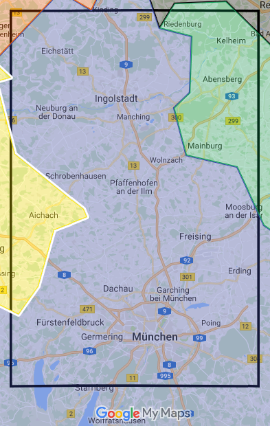 | 393 × 620 (228 KB) | Maintenance script (talk | contribs) |
- You cannot overwrite this file.
File usage
The following 3 pages link to this file: