Difference between revisions of "2018-01-02 50 11"
From Geohashing
imported>Paintedhell (Created page with "{{meetup graticule | lat=50 | lon=11 | date=2018-01-02 }} __NOTOC__ == Location == On a probably muddy field near Rabis, Thuringia. == Participants == * user:Paintedhell|...") |
imported>FippeBot m (Location) |
||
| Line 27: | Line 27: | ||
[[Category:Expeditions with photos]] | [[Category:Expeditions with photos]] | ||
[[Category:Coordinates reached]] | [[Category:Coordinates reached]] | ||
| + | {{location|DE|TH|SHK}} | ||
Latest revision as of 03:17, 16 August 2019
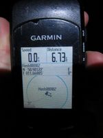
| Tue 2 Jan 2018 in 50,11: 50.9012248, 11.6688477 geohashing.info google osm bing/os kml crox |
Location
On a probably muddy field near Rabis, Thuringia.
Participants
- Juja and Knüppelschaf
Expedition
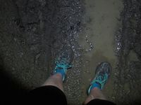
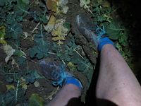
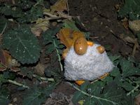
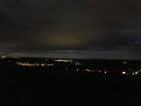
Clearly a Geohash from the "too close to miss" category: in good running distance from Jena, and Tuesday is a good day for running anyway, so running it was. Guided only by the moonlight until I was almost in Burgrabis, but then the way downhill towards Rabis was so very muddy that I switched on my headlamp to not break a leg in that mess. The point itself was in the middle of a muddy field, the other way there was almost as muddy and so I came back very dirty - as expected.
Photos
|
