Difference between revisions of "2018-04-20 51 11"
From Geohashing
imported>Paintedhell (Created page with "{{meetup graticule | lat=51 | lon=11 | date=2018-04-20 }} __NOTOC__ == Location == On a muddy field near Flurstedt, Thuringia. == Participants == * [[user:Paintedhell|Juja]...") |
imported>FippeBot m (Location) |
||
| (One intermediate revision by one other user not shown) | |||
| Line 7: | Line 7: | ||
__NOTOC__ | __NOTOC__ | ||
== Location == | == Location == | ||
| − | On | + | On the edge of Flurstedt, Thuringia, very near Ilm river. |
== Participants == | == Participants == | ||
| Line 31: | Line 31: | ||
[[Category:Expeditions with photos]] | [[Category:Expeditions with photos]] | ||
[[Category:Coordinates reached]] | [[Category:Coordinates reached]] | ||
| + | {{location|DE|TH|AP}} | ||
Latest revision as of 03:33, 16 August 2019
| Fri 20 Apr 2018 in 51,11: 51.0592676, 11.5498185 geohashing.info google osm bing/os kml crox |
Location
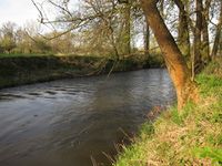
On the edge of Flurstedt, Thuringia, very near Ilm river.
Participants
- Juja, Benjy and Frankie Mouse (who completely forgot to come out of the backpack until I arrived back home)
Expedition
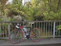
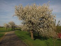
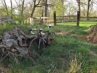
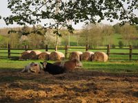
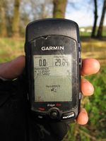
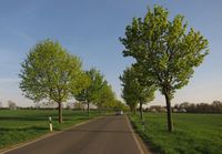
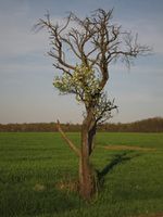
Cycled there after work, in perfect weather. Got 50m near the Geohash point when a fence around a cow pasture stopped me. I was already thinking about calling it a day when I noticed that the farmer had thought of future Geohashers and, accordingly, left a narrow strip of stinging nettles between the pasture and the river, so I stalked through it and even got a 1-m-shot. Passed on the 0m this time, as the signal drifted between the cows and the river. Then I went back on lonely roads, passing even more cherry blossoms. Beautiful!
Photos
|
