Difference between revisions of "2018-09-09 -44 170"
From Geohashing
imported>Quaternary (Created page with "[[Image:{{{image|2018_09_09_-44_170_08.JPG}}}|thumb|left]] <!-- And DON'T FORGET to add your expedition and the best photo you took to the gallery on the Main Page! We'd lov...") |
m (per Renaming Proposal) |
||
| (2 intermediate revisions by 2 users not shown) | |||
| Line 62: | Line 62: | ||
== Achievements == | == Achievements == | ||
| + | {{Graticule unlocked | ||
| + | | latitude = -44 | ||
| + | | longitude = 170 | ||
| + | | date = 2018-09-09 | ||
| + | | name = Quaternary | ||
| + | | image = 2018_09_09_-44_170_03.JPG | ||
| + | }} | ||
{{drag-along | {{drag-along | ||
| latitude = -44 | | latitude = -44 | ||
| Line 89: | Line 96: | ||
[[Category:Coordinates reached]] | [[Category:Coordinates reached]] | ||
[[Category:Meetup on 2018-09-09]] | [[Category:Meetup on 2018-09-09]] | ||
| + | {{location|NZ|CAN}} | ||
Latest revision as of 04:53, 20 March 2024
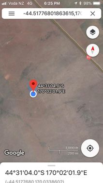
| Sun 9 Sep 2018 in -44,170: -44.5177680, 170.0338602 geohashing.info google osm bing/os kml crox |
Location
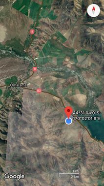
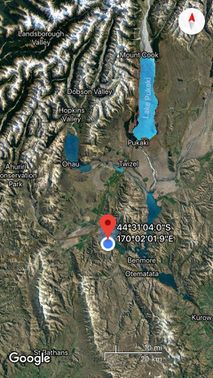
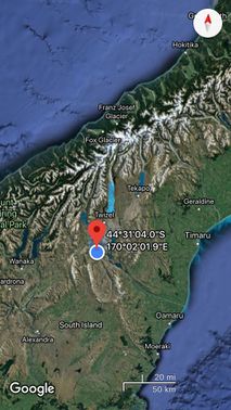
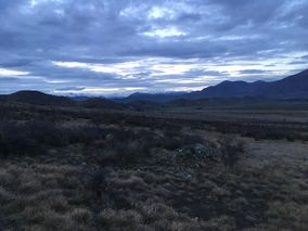
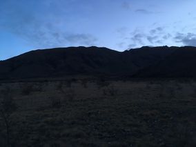
Waitaki Valley, near Omarama
Participants
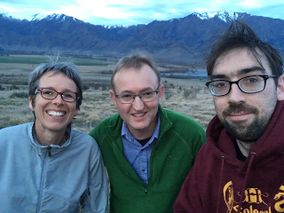
The Quaternary (talk) family geohashers
Plans
Having spent a long weekend down in Central Otago, we saw that there was a doable Sunday hash near Omarama, in the virgin "Waitaki River" graticule. We'll have to give it a go on the way home! It looks to be a few hundred metres off the road at the top of the Waitaki Valley.
Expedition
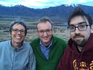
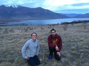
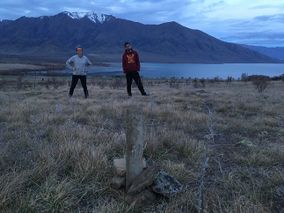
It was towards the end of the day by the time we got within reach of the hash. The sun was going down and so we knew we had to be quick or else the photos would be disappointing. We also had a friend with us. "Oh, by the way, there's this thing that we do ..."
Tracklog
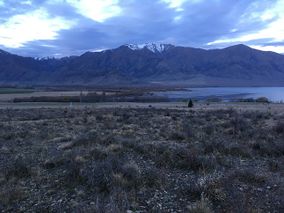
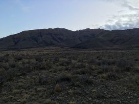
Photos
Achievements
Quaternary earned the Graticule Unlocked Achievement
|
Quaternary earned the Drag-along achievement
|
Quaternary earned the Electric Vehicle Achievement
|
