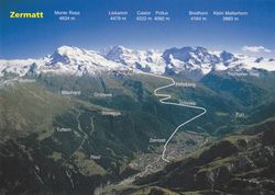
|
|
| Line 74: |
Line 74: |
| | | | |
| | {{Land geohash | latitude = 45 | longitude = 7 | date = 2010-07-13 | name = Crox }} | | {{Land geohash | latitude = 45 | longitude = 7 | date = 2010-07-13 | name = Crox }} |
| − | {{Virgin graticule | latitude = 45 | longitude = 7 | date = 2010-07-13 | name = Crox }} | + | {{Graticule unlocked | latitude = 45 | longitude = 7 | date = 2010-07-13 | name = Crox }} |
| | | | |
| | {{Hashcard | | {{Hashcard |
Latest revision as of 06:10, 20 March 2024
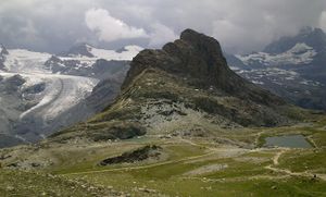
near-live view from the hash
Location
Near the Rotenboden train station (Gornergratbahn), 2800 m high.
Participants
Crox
Plans
Take the train in Visp at 13:10 towards Zermatt, change to the 14:24 Gornergrat train, reach the hash around 15:00.
Continue to Gornergrat with the 15:16 or 15:40 train.
Go back to Zermatt -> arrival between 16:00 and 17:30 (roughly one train every 20 min.)
Expedition
To be honest, I had been looking at the 45, 7 coordinates for quite a while.
I was ready to consider a week-end trip to the Aosta area for instance in order to claim the graticule.
This would not have been my first hash in the Alps, however it meant a fair amount of time to spend on the train... Nevertheless I quickly checked the train schedule] to see if I could make it by taking only the afternoon off. To my surprise, the hashpoint lay within three hours from my work, which is quite amazing when you realize where it's located... Hey, we spent 3.5 billion for that, but in certain circumstances it's really worth it! After I realized it was doable, it became difficult to stick that idea out of my mind. So I decided it was easier to just go for it, and I arranged the afternoon off.
Some co-workers were a bit puzzled the next day seeing me arriving with a big backpack (the best expedition-proof solution I found to fit both my work and geohash gear).
The rest of the day went exactly according to the plan. Not the best weather you could dream of, but still a very nice afternoon, away from the heat.
Photos
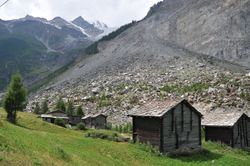
| A part of the mountain fell off a couple of years ago... |
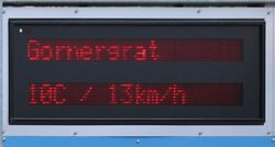
| Meanwhile, 32°C in Geneva |
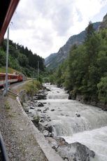
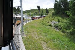
| 6 trains per hour stop at the hashpoint, so it's not suprising that the almost single-track only line is busy |
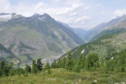
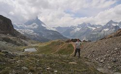
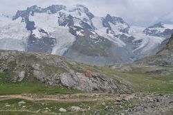
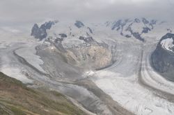
| View towards the valley where I came from earlier. |
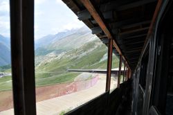
| I suppose the area next to the train is for skiers in Winter. |
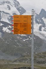
| Rotenboden train station - only a few meters left. |
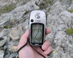
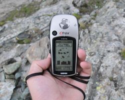
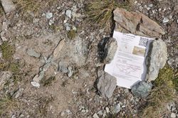
| Here we are. I got it down to 0.05 m at some point. |
| The hashpoint as seen from the train |
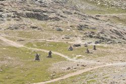
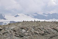
| More cairns at the Gornergrat |
|
Achievements

