Difference between revisions of "2008-06-15 -34 150"
imported>Mrchips0 (→Achievement) |
m (fix, sorry) |
||
| (7 intermediate revisions by 5 users not shown) | |||
| Line 7: | Line 7: | ||
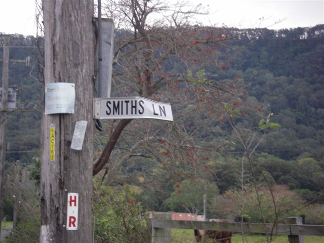
This one falls in a paddock off Smith Lane in Wongawilli. It is a small, rural suburb north-west of Dapto. | This one falls in a paddock off Smith Lane in Wongawilli. It is a small, rural suburb north-west of Dapto. | ||
| − | It | + | It is located within the [[Wollongong, Australia|Wollongong]] graticule |
-34.475381°, 150.761276° | -34.475381°, 150.761276° | ||
| − | Map reference: | + | Map reference: {{egl|2008-06-15|-35|150|text=Official tool}} |
| − | [http://maps.google.com/maps?f=q&hl=en&geocode=&q=-34. | + | [http://maps.google.com/maps?f=q&source=s_q&hl=en&geocode=&q=-34.475381%C2%B0,+150.761276%C2%B0+&sll=-34.382577,150.911385&sspn=0.010094,0.022745&ie=UTF8&ll=-34.475377,150.761282&spn=0.010083,0.022745&t=h&z=16&iwloc=A Location in Google Maps] |
==Achievement== | ==Achievement== | ||
| − | I reached this hash at around 15:45 and stayed until 16:10. No other | + | I reached this hash at around 15:45 and stayed until 16:10. No other geohashers arrived whilst I was there. |
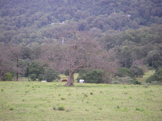
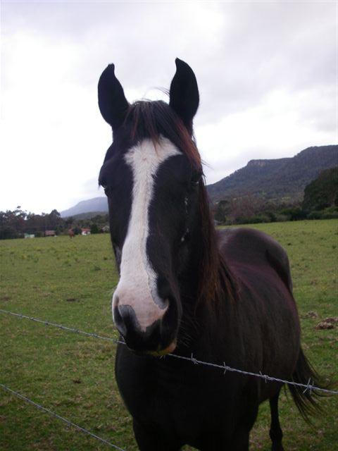
The actual location was very close to the tree shown in the photo. There were several horses in the paddock. One was interested enough to come and inspect. | The actual location was very close to the tree shown in the photo. There were several horses in the paddock. One was interested enough to come and inspect. | ||
| Line 33: | Line 33: | ||
[[Image:Horse2.JPG]] | [[Image:Horse2.JPG]] | ||
| + | |||
| + | [[Category:Expeditions]] | ||
| + | [[Category:Expeditions with photos]] | ||
| + | [[Category:Coordinates reached]] | ||
| + | {{location|AU|NSW|WG}} | ||
Latest revision as of 18:50, 18 January 2022
| Sun 15 Jun 2008 in -34,150: -34.4753808, 150.7612767 geohashing.info google osm bing/os kml crox |
This one falls in a paddock off Smith Lane in Wongawilli. It is a small, rural suburb north-west of Dapto.
It is located within the Wollongong graticule
-34.475381°, 150.761276°
Map reference: Official tool
Achievement
I reached this hash at around 15:45 and stayed until 16:10. No other geohashers arrived whilst I was there.
The actual location was very close to the tree shown in the photo. There were several horses in the paddock. One was interested enough to come and inspect.
For what is a dead end road with only a dozen or so residences along it, the road was surprisingly busy. Seven vehicles travelled along it in the time I was there.
Also present was a person exercising two greyhounds and a woman leading a shetland pony, which my six year-old mistook for "a huge dog".
Mrchips0 08:40, 15 June 2008 (UTC)


