Difference between revisions of "2008-06-01 51 5"
From Geohashing
m (fix, sorry) |
|||
| (One intermediate revision by the same user not shown) | |||
| Line 35: | Line 35: | ||
<gallery caption="Pictures" widths="267px" perrow="3"> | <gallery caption="Pictures" widths="267px" perrow="3"> | ||
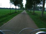
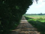
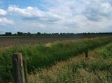
Image:2008-06-01_51_5_cycling.jpg|Going past endless fields of farm at around 20kmh | Image:2008-06-01_51_5_cycling.jpg|Going past endless fields of farm at around 20kmh | ||
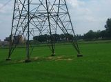
| − | Image:2008-06-01_51_5_fridayhash.jpg|The route brought me past the geohash of | + | Image:2008-06-01_51_5_fridayhash.jpg|The route brought me past the geohash of {{egl|2008-05-23|51|5|text=9 days}} ago by accident |
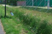
Image:2008-06-01_51_5_tennis.jpg|A ball came over a tennisfence, people searched for it | Image:2008-06-01_51_5_tennis.jpg|A ball came over a tennisfence, people searched for it | ||
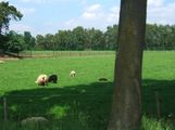
Image:2008-06-01_51_5_routenetwork.jpg|Halfway there! | Image:2008-06-01_51_5_routenetwork.jpg|Halfway there! | ||
Latest revision as of 18:47, 18 January 2022
| Sun 1 Jun 2008 in Eindhoven: 51.3491079, 5.9162389 geohashing.info google osm bing/os kml crox |
Expedition made by Paul
I wasn't planning on going but saw that the location was within cycling range and decided to go biking to the location. Equiped with water, a map and a backlog of Security Now podcasts on my iPod (which kept rambling about Yubikey) I started the trip at about 14:00 from Geldrop
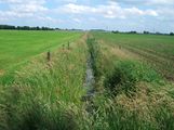
The hashpoint was in the middle of a farmfield near a line of trees. I ventured through an empty grassfield and got to within 15 meters of the hashpoint
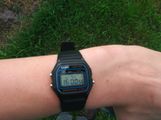
Total Expedition Odometry: 62680m
