Difference between revisions of "2020-02-08 43 -79"
From Geohashing
m |
|||
| (One intermediate revision by one other user not shown) | |||
| Line 2: | Line 2: | ||
| lat=43 | | lat=43 | ||
| lon=-79 | | lon=-79 | ||
| − | | date=2020- | + | | date=2020-02-08 |
| graticule_name=Toronto | | graticule_name=Toronto | ||
| graticule_link=Toronto, Ontario | | graticule_link=Toronto, Ontario | ||
| Line 47: | Line 47: | ||
}} | }} | ||
| + | [[Category:Expeditions]] | ||
| + | [[Category:Expeditions with photos]] | ||
[[Category:Coordinates reached]] | [[Category:Coordinates reached]] | ||
{{location|CA|ON|YO}} | {{location|CA|ON|YO}} | ||
Latest revision as of 10:36, 24 September 2021
| Sat 8 Feb 2020 in Toronto: 43.8906090, -79.5267114 geohashing.info google osm bing/os kml crox |
Location
Just beside Kirby road.
Participants
Plans
Expeditions
SIGSTKFLT
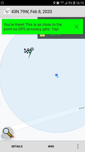
Left around 1, took buses to Keele & Kirby. Hiked it to the hashpoint.
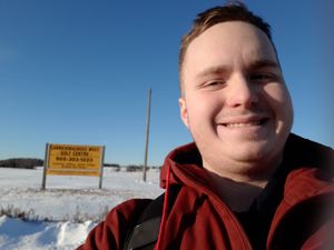
Hashpoint was covered in about a meter of snow, and not packed enough to walk on. Did it anyways. Should've worn boots.
| Last one standing achievement by being the the only hasher world-wide to go on a geohashing expedition on 2020-02-08. |
| Public transport geohash achievement by reaching the (43, -79) geohash on 2020-02-08 via [REDACTED], TTC 60, TTC 107, YRT 22. |
| Frozen Geohash Achievement by reaching the (43, -79) geohash on 2020-02-08 while the temperature was -17°C. |

