Difference between revisions of "2015-08-22 55 -3"
From Geohashing
m |
m (Categories) |
||
| (One intermediate revision by the same user not shown) | |||
| Line 20: | Line 20: | ||
How do I know that I (nearly, accidentally) at this geohashpoint, five years later? [https://danq.me/2020/10/09/accidental-geohashing/ Here's the secret]. | How do I know that I (nearly, accidentally) at this geohashpoint, five years later? [https://danq.me/2020/10/09/accidental-geohashing/ Here's the secret]. | ||
| − | [[Category: | + | [[Category:Not reached - Did not attempt]] |
| − | [[Category: | + | [[Category:Curse of Unawareness consolation prize]] |
{{location|GB|SCT|SLK}} | {{location|GB|SCT|SLK}} | ||
Latest revision as of 21:20, 13 December 2022
| Sat 22 Aug 2015 in 55,-3: 55.6552329, -3.7231957 geohashing.info google osm bing/os kml crox |
Location
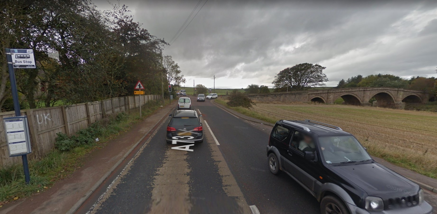
Near a bus stop East of the South side of Hyndford Bridge, near Lanark.
Participants
Plans
No plans! Dan was driving South from Edinbugh to Oxford via Lanark (to drop off a passenger at the station).
Expedition
Quite by coincidence, on account of dropping off his partner's father at Lanark Station, Dan drove across the bridge (shown in the picture above) on the date in question, passing within 24 metres of the hashpoint. Not quite close enough to justify a "find", but close enough to be worth documenting.
How do I know that I (nearly, accidentally) at this geohashpoint, five years later? Here's the secret.
