Difference between revisions of "2021-04-16 59 18"
From Geohashing
(→Expedition) |
m (subst-ing) |
||
| (One intermediate revision by the same user not shown) | |||
| Line 1: | Line 1: | ||
{{meetup graticule | {{meetup graticule | ||
| − | | lat= | + | | lat=59 |
| − | | lon= | + | | lon=18 |
| − | | date= | + | | date=2021-04-16 |
}} | }} | ||
__NOTOC__ | __NOTOC__ | ||
| Line 29: | Line 29: | ||
[[Category:Expeditions with photos]] | [[Category:Expeditions with photos]] | ||
[[Category:Coordinates reached]] | [[Category:Coordinates reached]] | ||
| + | {{location|SE|AB}} | ||
Latest revision as of 20:31, 24 May 2024
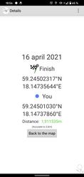
| Fri 16 Apr 2021 in 59,18: 59.2450232, 18.1473564 geohashing.info google osm bing/os kml crox |
Location
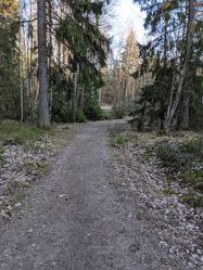
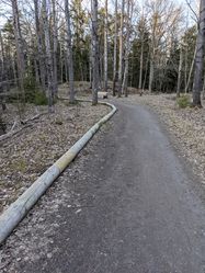
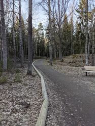
Next to a hiking path in Flaten’s nature reserve.
Participants
Expedition
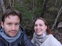
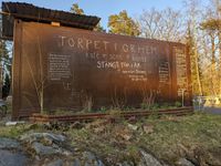
This hash point was somewhat far away from home, but in a nature reserve which seemed quite nice. I managed to convince Anna to go there with me, even though there was only one bus per hour so we’d better not miss the bus on the way back otherwise we would have been stuck in the middle of nowhere for quite some time.
Turns out it really was a beautiful place, and we’re actually considering going back there at some point to maybe camp for a night. There is also a café with live music next to the bus stop, but it wasn't open yet. Looking forward to see how it is in the summer!
