Difference between revisions of "2008-11-09 47 11"
From Geohashing
m (Replacing Peeron with Geohashing.info) |
m (per Renaming Proposal) |
||
| (One intermediate revision by one other user not shown) | |||
| Line 11: | Line 11: | ||
I went to Ambach by car and then the last ~600 m by foot. I took some pictures from the hash and then went to Lake Starnberg. | I went to Ambach by car and then the last ~600 m by foot. I took some pictures from the hash and then went to Lake Starnberg. | ||
| − | {{egl|2008-11-09|47 | + | {{egl|2008-11-09|47|11|text=Link to the location}} |
== People == | == People == | ||
* [[User:Umeier|Umeier]] | * [[User:Umeier|Umeier]] | ||
| − | {{ | + | {{Graticule unlocked | latitude = 47 | longitude = 11 | date = 2008-11-09 | name = Umeier }} |
== Pictures == | == Pictures == | ||
Latest revision as of 06:42, 20 March 2024
| Sun 9 Nov 2008 in Innsbruck, Austria: 47.8585709, 11.3474033 geohashing.info google osm bing/os kml crox |
About
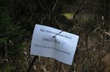
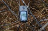
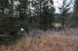
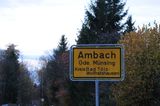
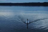
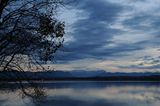
The hashpoint was located inside swampy grassland in the forest near Ambach at Lake Starnberg in Upper Bavaria. I went to Ambach by car and then the last ~600 m by foot. I took some pictures from the hash and then went to Lake Starnberg.
People
Umeier earned the Graticule Unlocked Achievement
|
