Difference between revisions of "2023-12-16 -38 144"
From Geohashing
Felix Dance (talk | contribs) (→Achievements) |
m (Location) |
||
| (One intermediate revision by one other user not shown) | |||
| Line 19: | Line 19: | ||
==Achievements== | ==Achievements== | ||
{{#vardefine:ribbonwidth|100%}} | {{#vardefine:ribbonwidth|100%}} | ||
| − | {{Bicycle geohash|latitude=-38|longitude=144|date=2023-12-16|name=John|distance= | + | {{Bicycle geohash|latitude=-38|longitude=144|date=2023-12-16|name=John|distance=70kms}} |
__NOTOC__ | __NOTOC__ | ||
| Line 25: | Line 25: | ||
[[Category:Coordinates reached]] | [[Category:Coordinates reached]] | ||
[[Category:Expeditions with photos]] | [[Category:Expeditions with photos]] | ||
| + | {{location|AU|VIC|MP}} | ||
Latest revision as of 04:42, 21 December 2023
| Sat 16 Dec 2023 in -38,144: -38.3464929, 144.7510775 geohashing.info google osm bing/os kml crox |
Location
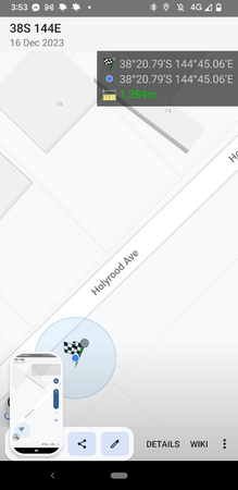
On a street in Sorrento, just south of the Bay.
Participants
Expedition
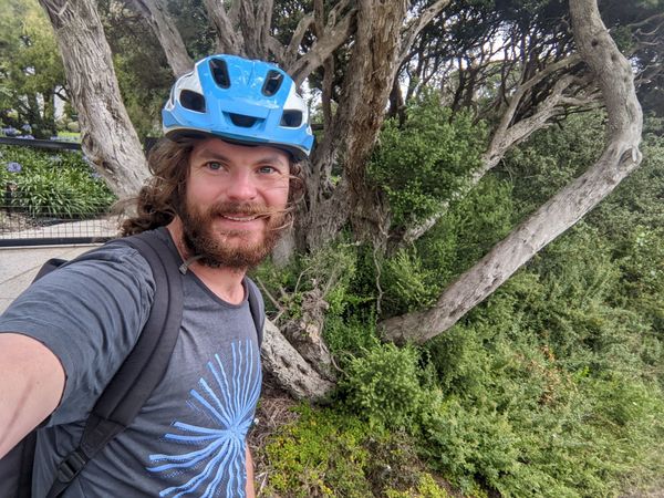
John took the train to Geelong, rode to the ferry at Queenscliffe, crossed to Sorento, got the hash, took the same ferry back that he'd just alit, then bike and train back home. An impressive effort for the day!
He considered riding all the way round to Frankston, but there were rail-replacement buses along that line, minimising its utility.
Photos
Achievements
John earned the Bicycle geohash achievement
|

