Difference between revisions of "2024-02-13 53 10"
From Geohashing
([live picture]view of a lake from Prince's Island) |
m (subst-ing) |
||
| (14 intermediate revisions by 3 users not shown) | |||
| Line 1: | Line 1: | ||
| − | + | {{meetup graticule | |
| − | |||
| − | |||
| − | |||
| − | |||
| − | |||
| − | |||
| − | |||
| − | |||
| lat=53 | | lat=53 | ||
| lon=10 | | lon=10 | ||
| date=2024-02-13 | | date=2024-02-13 | ||
| − | }} | + | }} |
| − | |||
| − | |||
| − | |||
| − | |||
| − | |||
| − | |||
| − | |||
| − | |||
| − | |||
| − | == | + | ==Location== |
| − | + | in a forest in Grabau, Schleswig-Holstein | |
| − | == | + | ==Participants== |
| − | + | *[[User:π π π|π π π]] ([[User talk:π π π|talk]]) | |
| − | == | + | ==Expedition== |
| − | + | Report to come, until then I'll let the pictures tell the story. | |
| − | |||
| − | |||
| − | |||
| + | ==Photos== | ||
| + | <gallery mode="packed" heights="150px"> | ||
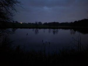
Image:2024-02-13_53_10_π π π_1707847840545.jpg|view of a lake from Prince's Island | Image:2024-02-13_53_10_π π π_1707847840545.jpg|view of a lake from Prince's Island | ||
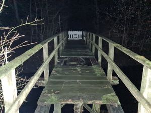
| + | Image:2024-02-13_53_10_π π π_1707847873607.jpg|Challenge accepted | ||
| + | Image:2024-02-13_53_10_π π π_1707847913174.jpg|Crossed here instead for even more adventure | ||
| + | Image:2024-02-13_53_10_π π π_1707847941101.jpg|Yes, it was slippery. | ||
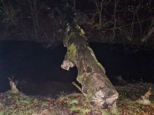
| + | Image:2024-02-13_53_10_π π π_1707847996832.jpg|The Eagle and Child | ||
| + | Image:2024-02-13_53_10_π π π_1707848019703.jpg|View to the South | ||
| + | Image:2024-02-13_53_10_π π π_1707848082872.jpg|Eagle Knievel | ||
| + | Image:2024-02-13_53_10_π π π_1707848107966.jpg|Let's ignore this … | ||
| + | Image:2024-02-13_53_10_π π π_1707848137055.jpg|"This is fine" | ||
| + | Image:2024-02-13_53_10_π π π_1707848172255.jpg|Proof Droid | ||
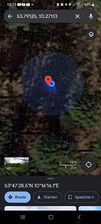
| + | Image:2024-02-13_53_10_π π π_1707858674535.jpg|Proof Maps | ||
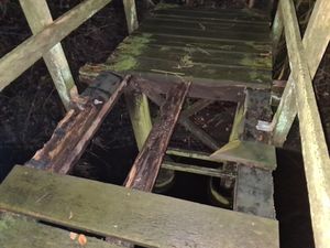
| + | Image:2024-02-13_53_10_π π π_1707847960816.jpg|Nothing to see here [https://openstreetmap.org/?mlat=53.79123720&mlon=10.27115500&zoom=16 @53.7912,10.2712] | ||
</gallery> | </gallery> | ||
| − | == Achievements == | + | ==Achievements== |
| − | + | Land geohash, Public transport geohash | |
| − | |||
__NOTOC__ | __NOTOC__ | ||
| − | + | [[Category:Coordinates reached]] | |
| − | + | [[Category:Land geohash achievement]] | |
| − | [[Category: | + | [[Category:Public transport geohash achievement]] |
| − | |||
| − | |||
| − | |||
| − | |||
| − | |||
| − | [[Category: | ||
| − | |||
| − | |||
| − | |||
| − | |||
| − | |||
[[Category:Expeditions]] | [[Category:Expeditions]] | ||
| − | + | {{location|DE|SH|OD}} | |
| − | |||
| − | |||
| − | |||
| − | |||
| − | |||
| − | |||
| − | |||
| − | |||
| − | |||
| − | |||
| − | |||
| − | |||
| − | |||
| − | |||
| − | |||
| − | |||
| − | |||
| − | |||
| − | |||
| − | |||
| − | |||
| − | |||
| − | |||
| − | |||
| − | |||
Latest revision as of 21:14, 24 May 2024
| Tue 13 Feb 2024 in 53,10: 53.7912502, 10.2711300 geohashing.info google osm bing/os kml crox |
Location
in a forest in Grabau, Schleswig-Holstein
Participants
Expedition
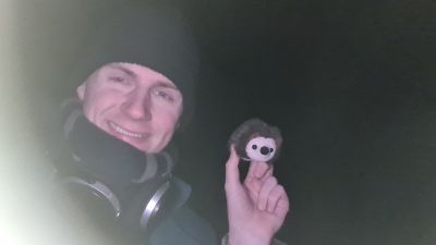
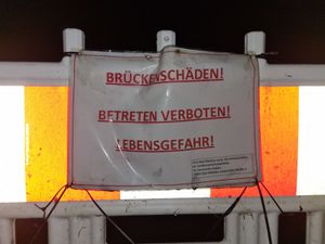
Report to come, until then I'll let the pictures tell the story.
Photos
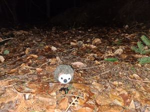
Nothing to see here @53.7912,10.2712
Achievements
Land geohash, Public transport geohash
