Difference between revisions of "2024-11-09 58 5"
From Geohashing
(→Achievements) |
(→Expedition) |
||
| (2 intermediate revisions by the same user not shown) | |||
| Line 27: | Line 27: | ||
== Expedition == | == Expedition == | ||
<!-- how it all turned out. your narrative goes here. --> | <!-- how it all turned out. your narrative goes here. --> | ||
| + | |||
| + | The hash point was found without any problems. It was a nice day for a bike ride. Cloudy and 8 - 10 °C and no wind. Due to the fact that it was a nice day, the cycle trip was a little longer than planned, the trip was a total of 75.59 km. | ||
== Tracklog == | == Tracklog == | ||
<!-- if your GPS device keeps a log, you may use Template:Tracklog, post a link here, or both --> | <!-- if your GPS device keeps a log, you may use Template:Tracklog, post a link here, or both --> | ||
| + | |||
| + | {{tracklog |Activity 17496900603.gpx}} | ||
== Photos == | == Photos == | ||
Latest revision as of 19:50, 9 November 2024
| Sat 9 Nov 2024 in 58,5: 58.8658990, 5.8261858 geohashing.info google osm bing/os kml crox |
Location
Next to a barn at Haga in Sandnes municipality, Norway
Participants
Plans
Expedition
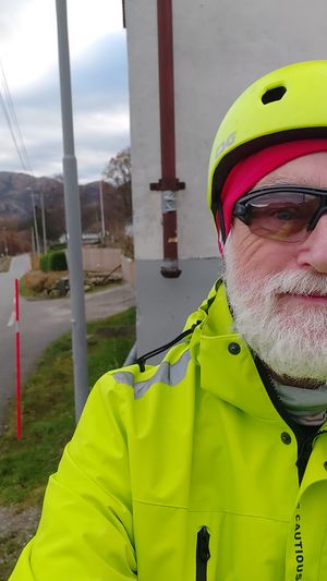
The hash point was found without any problems. It was a nice day for a bike ride. Cloudy and 8 - 10 °C and no wind. Due to the fact that it was a nice day, the cycle trip was a little longer than planned, the trip was a total of 75.59 km.
Tracklog
Photos
Haga @58.8660,5.8263
Achievements
Pica42 earned the Land geohash achievement
|
Pica42 earned the Bicycle geohash achievement
|


