Difference between revisions of "2008-09-07 -35 149"
imported>Joannac (*updated with second expedition*) |
imported>FippeBot m (Location) |
||
| Line 32: | Line 32: | ||
[[Category:Expeditions with photos]] | [[Category:Expeditions with photos]] | ||
[[Category:Coordinates reached]] | [[Category:Coordinates reached]] | ||
| + | {{location|AU|ACT}} | ||
Latest revision as of 06:53, 7 August 2019
| Sun 7 Sep 2008 in -35,149: -35.2259222, 149.1526692 geohashing.info google osm bing/os kml crox |
Joanna found out the hash today was only ~600m from her house. So no excuse not to do it!
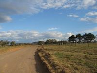
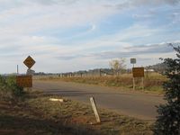
Signs at the road indicated there was construction going on. Joannac was undeterred, and parked nearby and walked, instead of driving. Incidentally, this was the first time she'd driven on a gravel road. (Yeah, she is a city girl. How could you tell?)
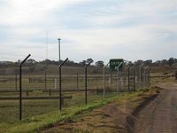
The landscape confirmed what google maps showed: there are NO landmarks around. Joannac was not too keen on walking too far, especially since there were people up ahead looking suspicious. So she declared the green "Entry" sign to be the hashpoint.
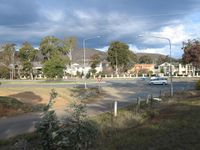
Joannac gets home, only to find there's a walk geohashing achievement. And, what are the chances one will be close enough to walk to again? So she set off for the geohash point again. Unfortunately the light, and nearby farmers looking suspicious, meant she only made it to the construction signs.
- Expedition 1
- Expedition 2
