Difference between revisions of "2009-05-22 40 -4"
From Geohashing
imported>Relet (→Plans) |
imported>Relet (→Plans) |
||
| Line 16: | Line 16: | ||
Who doesn't like [http://relet.net/g2/d/15364-2/P1030831.JPG plans?] | Who doesn't like [http://relet.net/g2/d/15364-2/P1030831.JPG plans?] | ||
| + | |||
| + | *Realized yesterday that my meeting would end in the early afternoon | ||
| + | *Rented a car for the weekend | ||
| + | *Asked the [http://tjum.anthill.de/geohash.html maitre d'] which hash would be recommended for people without a GPS device. | ||
| + | *Then decided that since yesterdays hash had been too easy, there would have to be a challenge | ||
| + | *[[Segovia, Spain]] not only had an interesting terrain profile (I like mountains), but also the hash in a deserted (I meant ''devoid of structures'' at that time) forest, where I would have to identify the correct lump of trees based on the satellite images. | ||
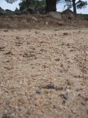
| + | *Hence the plan. I indicated all the sandy tracks I could make out, and any other landmark. Landmarks would be mostly significant bends in these tracks. In the close range, landmarks were large trees, casting a significant amount of shadow on the tracks. | ||
| + | *Failsafe, eh? | ||
== Expedition == | == Expedition == | ||
Revision as of 19:52, 22 May 2009
| Fri 22 May 2009 in 40,-4: 40.4905859, -4.3600474 geohashing.info google osm bing/os kml crox |
Participants
Plans
Who doesn't like plans?
- Realized yesterday that my meeting would end in the early afternoon
- Rented a car for the weekend
- Asked the maitre d' which hash would be recommended for people without a GPS device.
- Then decided that since yesterdays hash had been too easy, there would have to be a challenge
- Segovia, Spain not only had an interesting terrain profile (I like mountains), but also the hash in a deserted (I meant devoid of structures at that time) forest, where I would have to identify the correct lump of trees based on the satellite images.
- Hence the plan. I indicated all the sandy tracks I could make out, and any other landmark. Landmarks would be mostly significant bends in these tracks. In the close range, landmarks were large trees, casting a significant amount of shadow on the tracks.
- Failsafe, eh?
Expedition
Tracklog *with* Photos
(but it's not a real tracklog)
http://www.everytrail.com/view_trip.php?trip_id=216084
