Difference between revisions of "2010-04-12 50 11"
From Geohashing
imported>Reinhard (gallery) |
imported>Paintedhell (Added my photos.) |
||
| Line 45: | Line 45: | ||
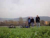
|Image:20100412-50N11E-11.jpg|Jens, Juja and Reinhard at the hashpoint. | |Image:20100412-50N11E-11.jpg|Jens, Juja and Reinhard at the hashpoint. | ||
|Image:20100412-50N11E-12.jpg|Panorama of Jena-North. | |Image:20100412-50N11E-12.jpg|Panorama of Jena-North. | ||
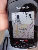
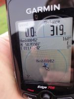
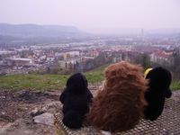
| + | |Image:Geo_100412_50_11_1.JPG|Karl, Tux and Räbe admiring the view on Heiligenberg. | ||
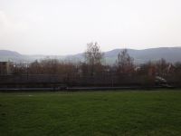
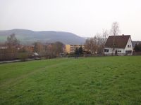
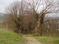
| + | |Image:Geo_100412_50_11_2.JPG|Weird trees on our way back down. | ||
}} | }} | ||
Revision as of 18:09, 12 April 2010
| Mon 12 Apr 2010 in 50,11: 50.9550698, 11.6124170 geohashing.info google osm bing/os kml crox |
Location
In a public meadow between Jena-Löbstedt and Jena-Zwätzen. It's just 268 m north of Reinhard's cubicle.
Participants
Plans
Since it's raining this morning, Reinhard will probably go there in the evening right after work.
Juja and Jens are planning to cycle there after work, too.
Expedition
Tracklog
Photos
|
