Difference between revisions of "2010-09-10 41 2"
From Geohashing
imported>Relet |
imported>Relet (→Photos) |
||
| Line 27: | Line 27: | ||
{{#vardefine:gaLines|2}} | {{#vardefine:gaLines|2}} | ||
{{Gallery2| | {{Gallery2| | ||
| − | + | {{GalleryItem | File:2010 09 10 41 2 R1061275.JPG | View down on the highway }} | |
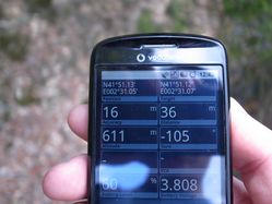
| + | {{GalleryItem | File:2010 09 10 41 2 R1061276.JPG | Not the proof picture I was looking for - stupidity distance 36m }} | ||
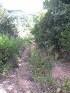
| + | {{GalleryItem | File:2010 09 10 41 2 R1061277.JPG | The path I had taken so far }} | ||
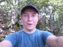
| + | {{GalleryItem | File:2010 09 10 41 2 R1061278.JPG | Coordinates reached (proof by stupid grin?)}} | ||
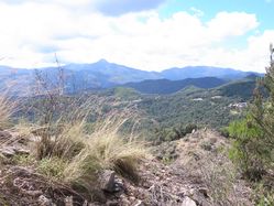
| + | {{GalleryItem | File:2010 09 10 41 2 R1061279.JPG | A look in the distance }} | ||
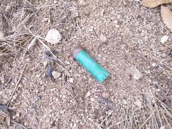
| + | {{GalleryItem | File:2010 09 10 41 2 R1061280.JPG | Zona privada de caza - birds is what you hunt with shotguns, right? }} | ||
}} | }} | ||
Revision as of 20:01, 10 September 2010
| Fri 10 Sep 2010 in 41,2: 41.8520529, 2.5179132 geohashing.info google osm bing/os kml crox |
Location
- Near Sant Hilari, or rather the C-25, Catalonia, Spain
Participants
- relet 17:07, 10 September 2010 (UTC)
Plans
Expedition
Tracklog
I do have a tracklog this time! Let's see where I can save it.
Photos
|

