Difference between revisions of "2011-01-23 51 11"
imported>Jiml m (Minor typo) |
imported>FippeBot m (Location) |
||
| Line 64: | Line 64: | ||
[[Category:Expeditions with photos]] | [[Category:Expeditions with photos]] | ||
[[Category:Coordinates reached]] | [[Category:Coordinates reached]] | ||
| + | {{location|DE|TH|AP}} | ||
Latest revision as of 05:19, 9 August 2019
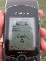
| Sun 23 Jan 2011 in 51,11: 51.0843637, 11.6624341 geohashing.info google osm bing/os kml crox |
Location
On a field near Lachstedt, not far away from something that looks like a road. Oh well, who am I kidding? It's about 200 meters away from some mud that's a little bit firmer than your ordinary mud. Alright. Not.
Participants
Plans
The original plan was to visit this hash on a tour containing three retro hashes as well. In the end, I was pissed enough having visited only this one. Anyway, I used the weather and went there by bike.
Expedition
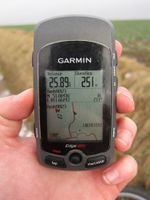
This was one of my better prepared Geohashes: I planned a route two days before, made a track with Gmaps Pedometer and put it on my little Edgie. Additionally I had two paper maps of the area in my bag, plus a working camera with a charged battery, plus a can of WD-40 (actually, I had no idea what I'd need this for, but it turned out to be quite handy). Unfortunately Google and my routable OSM kept me from actually thinking about the route, which would have been a good idea...
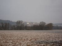
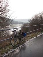
I started right after breakfast, and since I had an appointment in the early afternoon I decided to take a shorter route than the one I made the GPS track for (which would have included three retro hashes as well). It got colder the night before and there was a thin layer of snow on the road to Kunitz, but nothing to worry about. The river (Saale) was still a bit swollen, but not too much... At Dorndorf was the first place where the way was covered in ice and water, but I also mastered this challenge and went on to Camburg quite relaxed. Then I used the Gmaps Track to go to Schmiedehausen (where my chain jumped off while I changed gears - believe me, it's great fun to fix a chain that's so wet and muddy) and from there on to Lachstedt - still with a smile on my face.
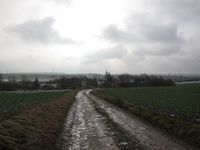
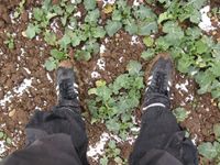
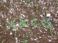
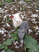
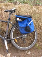
In Lachstedt there was a very small road leading to the hash, which consisted of solid mud in the shape of a tractor skidmark with some snow and frozen puddles in between. But of course I rode my bike right through that f***ing mess, no problem eh? Sadly, I couldn't get any closer to the hash than 200 meters, and from there on I had to walk over a muddy field with some small plants on it that might become fodder beets in one of the upcoming years. Looked like solid ground on first glance, but after the 200 meters (and 200 meters back!) my feet felt like the mafia had been busy on them.
Well, I tried to shake off my concrete shoes and rode on to Bad Sulza, on that huge red road my OSM map showed me. Unfortunately, red doesn't mean big street but more "Beware!", and it was just a field road with a muddy, uneven middle and deep puddles left and right of it, some of them iced and some really wet. I struggled on for about a km and found the road to Bad Sulza, a place I do not know too well. So I tried to follow my track again, asked my OSM map a little later to just route me home and both together created maximum chaos, both suggested impossible bumpy, muddy and icy fieldways and mogul slopes and so I was really pissed when I finally reached Pfuhlsborn. (I should have known there are no good roads around there, but I just didn't think so far...)
From there on, I strictly used roads and spent my last powers to ride my bike back home, through cold and headwind, and could finally clean my bike and myself and go visit my friends for some coffee and light refreshments ;)
Lessons learned
- Never trust Google tracks.
- Never trust OSM routing.
- Never let your GPS tell you what to do anyway.
Achievements
If I would not already have that one, mother nature would have been my bitch again today...
- Land geohash
Photos
|
