Difference between revisions of "2011-02-13 50 10"
From Geohashing
imported>Reinhard (more photos and report to come) |
imported>Reinhard m (→Photos) |
||
| Line 19: | Line 19: | ||
== Photos == | == Photos == | ||
| − | {{gallery|width=200|height=200|lines= | + | {{gallery|width=200|height=200|lines=3 |
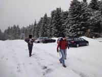
|Image:20110213-50N10E-01.jpg|We found a close parking area. | |Image:20110213-50N10E-01.jpg|We found a close parking area. | ||
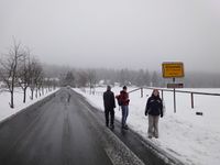
| − | |Image:20110213-50N10E-02.jpg|Allzunah - would be translated "far too close". | + | |Image:20110213-50N10E-02.jpg|Allzunah - would be translated "far too close". And in deed, it was far too close not to go there. |
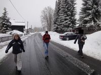
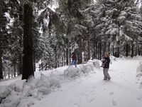
|Image:20110213-50N10E-03.jpg|Walking through Allzunah. | |Image:20110213-50N10E-03.jpg|Walking through Allzunah. | ||
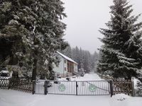
|Image:20110213-50N10E-04.jpg|Forestry office building, where we had to cross the gate. | |Image:20110213-50N10E-04.jpg|Forestry office building, where we had to cross the gate. | ||
Revision as of 12:57, 13 February 2011
| Sun 13 Feb 2011 in 50,10: 50.6023521, 10.8647813 geohashing.info google osm bing/os kml crox |
Location
In the Thuringian forest, close to the famous Rennsteig and near Allzunah.
Participants
Plans
Expedition
Photos
|
