Difference between revisions of "2014-02-08 51 9"
From Geohashing
imported>GeorgDerReisende (new expedition to Espenau-Schäferberg) |
imported>GeorgDerReisende (expedition report added) |
||
| Line 20: | Line 20: | ||
== Expedition == | == Expedition == | ||
| − | + | ||
| + | {| | ||
| + | |- | ||
| + | ! style="width:300px" | !! style="width:300px" | !! style="width:300px" | | ||
| + | |- | ||
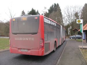
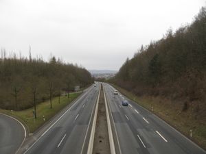
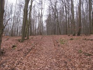
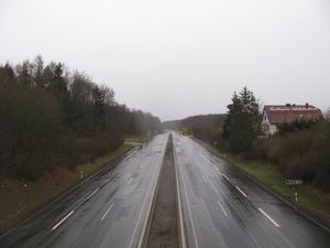
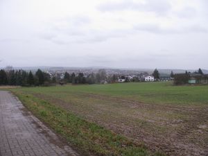
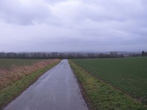
| + | | [[Image:2014-02-08 51 9 GeorgDerReisende 5744.jpg|300px]] || [[Image:2014-02-08 51 9 GeorgDerReisende 5748.jpg|300px]] || I arrived as planned at 15:05 at Espenau-Schäferberg and immediately I started to walk to the hash. I crossed the national road. | ||
| + | |- | ||
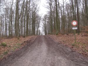
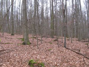
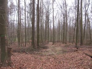
| + | | [[Image:2014-02-08 51 9 GeorgDerReisende 5755.jpg|300px]] || [[Image:2014-02-08 51 9 GeorgDerReisende 5758.jpg|300px]] || In the forest, I walked up and down and up again. | ||
| + | |- | ||
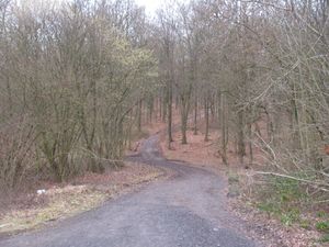
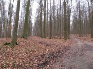
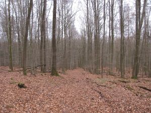
| + | | [[Image:2014-02-08 51 9 GeorgDerReisende 5767.jpg|300px]] || || About 120 meters from the hash I found this fork, the left way was not shown on all my maps. Because the hash seemed to lie about 60 meters left of the right way, I took the left way. | ||
| + | |- | ||
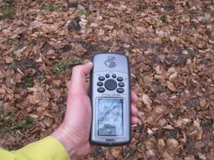
| + | | [[Image:2014-02-08 51 9 GeorgDerReisende 5772.jpg|300px]] || [[Image:2014-02-08 51 9 GeorgDerReisende 5774.jpg|300px]] || And look! I had been right. The hash lied about two meters on the left side of the way. | ||
| + | |- | ||
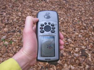
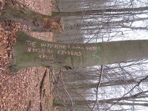
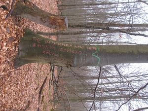
| + | | [[Image:2014-02-08 51 9 GeorgDerReisende 5775.jpg|300px]] || [[Image:2014-02-08 51 9 GeorgDerReisende 5780.jpg|300px]] || I created a sign and made the usual photos. | ||
| + | |- | ||
| + | | [[Image:2014-02-08 51 9 GeorgDerReisende 5776.jpg|300px]] west || [[Image:2014-02-08 51 9 GeorgDerReisende 5778.jpg|300px]] north || [[Image:2014-02-08 51 9 GeorgDerReisende 5777.jpg|300px]] east | ||
| + | |- | ||
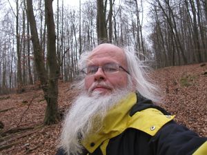
| + | | [[Image:2014-02-08 51 9 GeorgDerReisende 5779.jpg|300px]] south || [[Image:2014-02-08 51 9 GeorgDerReisende 5783.jpg|300px]] || Then I waited for 45 minutes for other geohashers to appear. But none of them arrived. Yes, I know. I am alone. I am alone in the world<sup>1</sup>. | ||
| + | |||
| + | And it began to rain. And there were some blasts. | ||
| + | |- | ||
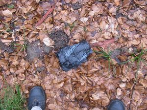
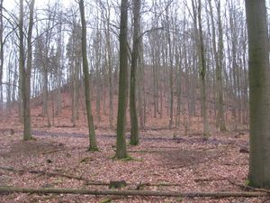
| + | | [[Image:2014-02-08 51 9 GeorgDerReisende 5786.jpg|300px]] || [[Image:2014-02-08 51 9 GeorgDerReisende 5790.jpg|300px]] || Then I started for home. At first I thought I could try the new found way, but with the rain the way became muddier. So I decided to walk across the forest to the other way and around the valley. In midth of the forest I found two new ''Hundekottüten'', I took them with me, but it's not enough for a geotrash achievement. And I found the peak of the ''Staufenberg''. | ||
| + | |- | ||
| + | | [[Image:2014-02-08 51 9 GeorgDerReisende 5809.jpg|300px]] || || After crossing again the national road, I found late afternoon sights to | ||
| + | |- | ||
| + | | [[Image:2014-02-08 51 9 GeorgDerReisende 5811.jpg|300px]] || [[Image:2014-02-08 51 9 GeorgDerReisende 5818.jpg|300px]] || Espenau and Vellmar. | ||
| + | |} | ||
== Tracklog == | == Tracklog == | ||
<!-- if your GPS device keeps a log, you may post a link here --> | <!-- if your GPS device keeps a log, you may post a link here --> | ||
| − | |||
| − | |||
| − | |||
| − | |||
| − | |||
| − | |||
| − | |||
== Achievements == | == Achievements == | ||
| Line 36: | Line 55: | ||
<!-- Add any achievement ribbons you earned below, or remove this section --> | <!-- Add any achievement ribbons you earned below, or remove this section --> | ||
| + | {{XKCD Centurion | count = 10 | name = GeorgDerReisende }} | ||
| − | + | == Footnotes == | |
| − | |||
| − | |||
| − | < | + | <sup>1</sup> I am alone in the world (in the Kassel graticule). |
| − | < | ||
| − | |||
| − | |||
| − | |||
[[Category:Expeditions]] | [[Category:Expeditions]] | ||
| − | + | ||
[[Category:Expeditions with photos]] | [[Category:Expeditions with photos]] | ||
| − | + | ||
| − | |||
| − | |||
| − | |||
| − | |||
[[Category:Coordinates reached]] | [[Category:Coordinates reached]] | ||
| − | |||
| − | |||
| − | |||
| − | |||
| − | |||
| − | |||
| − | |||
| − | |||
| − | |||
| − | |||
| − | |||
| − | |||
| − | |||
| − | |||
| − | |||
| − | |||
| − | |||
| − | |||
Revision as of 18:29, 8 February 2014
| Sat 8 Feb 2014 in 51,9: 51.3773098, 9.4367099 geohashing.info google osm bing/os kml crox |
Location
The hash lies in the forest about one kilometer southwest of Espenau-Schäferberg.
Participants
Plans
I want to take the tram 3 from stop Arnimstraße at 14:29 to stop Stern, and change there to the bus 100 to Espenau-Schäferberg, arriving there at 15:05. And then walking 1.2 kilometers into the forest on forest ways and 60 meters into the wayless forest. I will be there at 4pm for a xkcd-meetup.
Expedition
Tracklog
Achievements
GeorgDerReisende earned the xkcd Decurion achievement
|
Footnotes
1 I am alone in the world (in the Kassel graticule).
