Difference between revisions of "2015-04-13 51 9"
From Geohashing
imported>FippeBot m (Location) |
m (Linking to The Dance™) |
||
| Line 35: | Line 35: | ||
| [[Image:2015-04-13 51 9 GeorgDerReisende 4659.jpg | 300px ]] north || [[Image:2015-04-13 51 9 GeorgDerReisende 4660.jpg | 300px ]] west || [[Image:2015-04-13 51 9 GeorgDerReisende 4661.jpg | 300px ]] south | | [[Image:2015-04-13 51 9 GeorgDerReisende 4659.jpg | 300px ]] north || [[Image:2015-04-13 51 9 GeorgDerReisende 4660.jpg | 300px ]] west || [[Image:2015-04-13 51 9 GeorgDerReisende 4661.jpg | 300px ]] south | ||
|- | |- | ||
| − | | [[Image:2015-04-13 51 9 GeorgDerReisende 4662.jpg | 300px ]] east || [[Image:2015-04-13 51 9 GeorgDerReisende 4663.jpg | 300px ]] the dance || [[Image:2015-04-13 51 9 GeorgDerReisende 4666.jpg | 300px ]] the geohasher | + | | [[Image:2015-04-13 51 9 GeorgDerReisende 4662.jpg | 300px ]] east || [[Image:2015-04-13 51 9 GeorgDerReisende 4663.jpg | 300px ]] [[The Dance™|the dance]] || [[Image:2015-04-13 51 9 GeorgDerReisende 4666.jpg | 300px ]] the geohasher |
|- | |- | ||
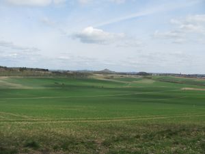
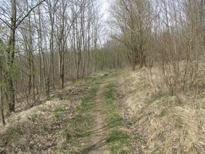
| [[Image:2015-04-13 51 9 GeorgDerReisende 4670.jpg | 300px ]] || [[Image:2015-04-13 51 9 GeorgDerReisende 4674.jpg | 300px ]] || Then I walked to the edge of the forest and took a photo of the valley, then I returned to the ridge way and went home. | | [[Image:2015-04-13 51 9 GeorgDerReisende 4670.jpg | 300px ]] || [[Image:2015-04-13 51 9 GeorgDerReisende 4674.jpg | 300px ]] || Then I walked to the edge of the forest and took a photo of the valley, then I returned to the ridge way and went home. | ||
Latest revision as of 17:03, 14 November 2020
| Mon 13 Apr 2015 in 51,9: 51.4966885, 9.1030673 geohashing.info google osm bing/os kml crox |
Location
The hash lay in the forest north of Germete.
Participants
Plans
Hitchhiking and walking.
Expedition
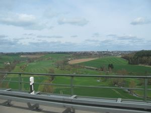 |
I left home at 10:45 and took the tram for Wilhelmshöhe station to get the bus to the motorway junction. Just at the moment, when I wanted to change to the bus, I noticed, that I had forgotten my camera at home. Without this important utensil I cannot go geohashing, so I returned home, took the camera and started again. The second start was at 12:00. At least I arrived at the motorway junction and pulled out the sign for Warburg and unintentionally hold it to the cars, the second vehicle stopped, a small truck. Shortly before the Warburg junction I had a good overview to Warburg, but not to the hash. | |
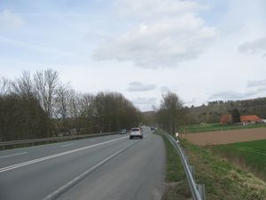 |
I asked the driver to drop me at the junction, but he delivered me at an emergency bay on the express road. I had to walk some 100 meters back to a place where I could change to a field way, but it felt very dangerous with all the trucks with 90 km/h and the cars with 130 km/h and no place to make a step away. Every time a truck passed, I pressed me to the railings. | |
 |
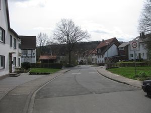 |
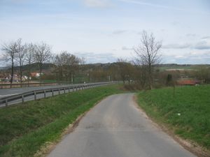
From the place, where I changed to the field way, I had a first view to the forest with the hash and found a hill. Then I walked through Germete. |
 |
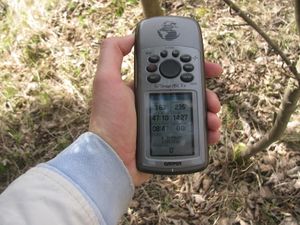 |
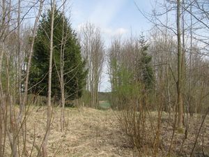
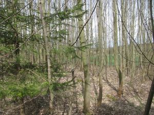
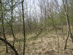
I climbed up the hill and found a way to the hash and the hash itself. I took the usual photos. |
 north north |
 west west |
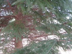 south south
|
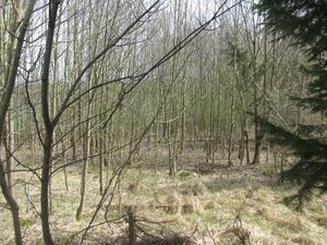 east east |
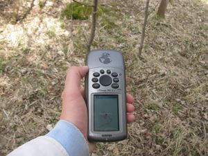 the dance the dance |
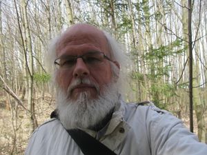 the geohasher the geohasher
|
 |
 |
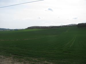
Then I walked to the edge of the forest and took a photo of the valley, then I returned to the ridge way and went home. |
 |
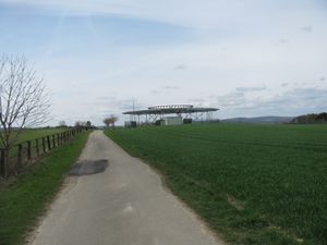 |
I crossed this valley and had another view to the hash forest. On the ridge of the other hill I found this. What is this? An UFO communication facility? A velociraptor landing platform? I don't know. |
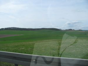 |
Then I went further to a road crossing, where I got a lift back home. From this car I had another view to the hash forest. |
Achievements
GeorgDerReisende earned the Thumbs Up Geohash Achievement
|