Difference between revisions of "2016-02-28 50 11"
From Geohashing
imported>Paintedhell (Created page with "{{meetup graticule | lat=50 | lon=11 | date=2016-02-28 }} __NOTOC__ == Location == On a meadow between Burkersdorf and Renthendorf, Thuringia. == Participants == * user:P...") |
imported>FippeBot m (Location) |
||
| Line 29: | Line 29: | ||
[[Category:Expeditions with photos]] | [[Category:Expeditions with photos]] | ||
[[Category:Coordinates reached]] | [[Category:Coordinates reached]] | ||
| + | {{location|DE|TH|SHK}} | ||
Latest revision as of 06:49, 15 August 2019
| Sun 28 Feb 2016 in 50,11: 50.7938607, 11.8354379 geohashing.info google osm bing/os kml crox |
Location
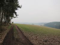
On a meadow between Burkersdorf and Renthendorf, Thuringia.
Participants
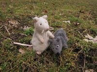
- Juja, Benjy and Frankie Mouse
Expedition
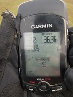
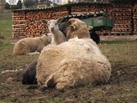
Not really too close to miss this time, but possible anyway - it is Sunday, I have enough time, I proved yesterday that 80kms of cycling are possible even in February and so I went to this Geohash. It was easier than I had expected - I miscalculated the distance to the point, arrived there earlier than I thought and could even ride my roadbike to the point - the forest road was a bit muddy, but not completely bad. With a mountain bike it would even have been possible to cycle directly to the Geohash as the meadow was not too muddy either, but I preferred to also get my shoes dirty and walked there, took the usual photos and cycled home on another route.
Photos
|
