Difference between revisions of "2017-02-04 51 11"
From Geohashing
imported>Paintedhell |
imported>FippeBot m (Location) |
||
| Line 31: | Line 31: | ||
[[Category:Expeditions with photos]] | [[Category:Expeditions with photos]] | ||
[[Category:Coordinates reached]] | [[Category:Coordinates reached]] | ||
| + | {{location|DE|TH|AP}} | ||
Revision as of 02:05, 16 August 2019
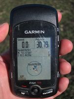
| Sat 4 Feb 2017 in 51,11: 51.1150716, 11.4439616 geohashing.info google osm bing/os kml crox |
Location
On a muddy field between Buttstädt and Rudersdorf, in the border area of Thuringia.
Participants
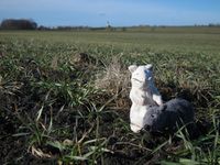
- Juja, Benjy and Frankie Mouse
Expedition
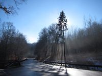
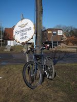
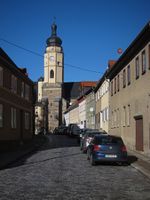
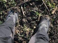
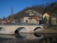
Today felt like the first day of spring around Jena, so I mounted my bike and also had the clever idea to check today's Geohash: near Buttstädt, that sounded like a reasonable distance (21 kms as the crow flies, though I knew the road did a lot of turns and would make the actual way quite a bit longer), so off I went! Very nice and sunny, I didn't even use my gloves and never got cold on my way. Got my feet dirty at the Geohash (business as usual, but it suspiciously smelled like cow manure), then enjoyed the weather so much that I picked an even longer route for the way home where I arrived after 82 km.
Photos
|
