Difference between revisions of "2017-03-16 51 9"
From Geohashing
imported>GeorgDerReisende (new report) |
imported>GeorgDerReisende (expedition report for Staufenberg, Germany) |
||
| Line 1: | Line 1: | ||
| − | |||
| − | |||
| − | |||
| − | |||
| − | |||
| − | |||
| − | |||
| − | |||
| − | |||
| − | |||
{{meetup graticule | {{meetup graticule | ||
| lat=51 | | lat=51 | ||
| Line 19: | Line 9: | ||
== Location == | == Location == | ||
| − | + | ||
| + | The hash lay on a fieldway north of Landwehrhagen. | ||
== Participants == | == Participants == | ||
| − | + | ||
| − | + | [[User:GeorgDerReisende|GeorgDerReisende]] | |
== Plans == | == Plans == | ||
| − | + | ||
| + | A small amount of hitchhiking and walking to the hash. | ||
== Expedition == | == Expedition == | ||
| − | |||
| − | |||
| − | |||
| − | |||
| − | == | + | {| |
| − | + | |- | |
| − | Image: | + | ! style="width:300px" | !! style="width:300px" | !! style="width:300px" | |
| − | -- | + | |- |
| − | + | | [[Image:2017-03-16 51 9 GeorgDerReisende 1542.jpg|300px]] || [[Image:2017-03-16 51 9 GeorgDerReisende 1549.jpg|300px]] || [[Image:2017-03-16 51 9 GeorgDerReisende 1550.jpg|300px]] | |
| − | + | |- | |
| + | | [[Image:2017-03-16 51 9 GeorgDerReisende 1551.jpg|300px]] || [[Image:2017-03-16 51 9 GeorgDerReisende 1552.jpg|300px]] || [[Image:2017-03-16 51 9 GeorgDerReisende 1553.jpg|300px]] | ||
| + | |- | ||
| + | | [[Image:2017-03-16 51 9 GeorgDerReisende 1554.jpg|300px]] || [[Image:2017-03-16 51 9 GeorgDerReisende 1555.jpg|300px]] || [[Image:2017-03-16 51 9 GeorgDerReisende 1557.jpg|300px]] | ||
| + | |- | ||
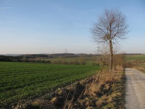
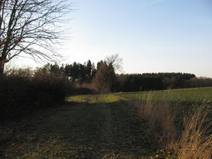
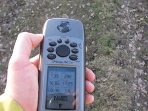
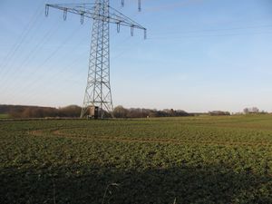
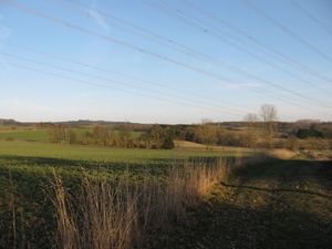
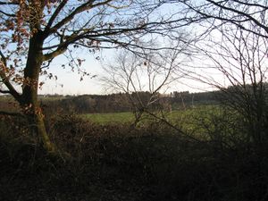
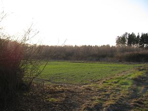
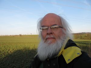
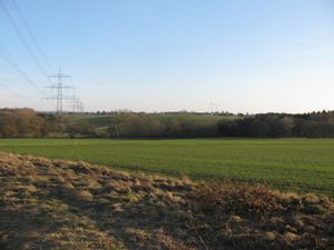
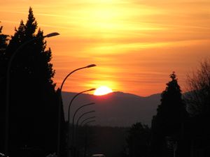
| + | | [[Image:2017-03-16 51 9 GeorgDerReisende 1578.jpg|300px]] || colspan =2 | I hitchhiked from Sandershausen to Landwehrhagen, then there were only 1.5 kilometers to walk. On the highest point of the way behind the valley there was the hash. I took the usual photos, then I walked back to Landwehrhagen. At the hitchhiking place I waited at first for the sun going down, then I hitchhiked home. | ||
| + | |} | ||
== Achievements == | == Achievements == | ||
| Line 45: | Line 39: | ||
<!-- Add any achievement ribbons you earned below, or remove this section --> | <!-- Add any achievement ribbons you earned below, or remove this section --> | ||
| − | + | {{Easy_geohash | latitude = 51 | longitude = 9 | date = 2017-03-16 | name = GeorgDerReisende }} | |
| − | |||
| − | |||
| − | + | [[Category:Expeditions]] | |
| − | + | [[Category:Expeditions with photos]] | |
| − | |||
| − | |||
| − | |||
| − | |||
| − | |||
| − | |||
| − | |||
| − | |||
| − | |||
| − | |||
| − | |||
| − | |||
| − | |||
| − | |||
[[Category:Coordinates reached]] | [[Category:Coordinates reached]] | ||
| − | |||
| − | |||
| − | |||
| − | |||
| − | |||
| − | |||
| − | |||
| − | |||
| − | |||
| − | |||
| − | |||
| − | |||
| − | |||
| − | |||
| − | |||
| − | |||
| − | |||
| − | |||
Revision as of 19:34, 16 March 2017
| Thu 16 Mar 2017 in 51,9: 51.3685911, 9.5953261 geohashing.info google osm bing/os kml crox |
Location
The hash lay on a fieldway north of Landwehrhagen.
Participants
Plans
A small amount of hitchhiking and walking to the hash.
Expedition
Achievements
GeorgDerReisende has visited an Easy Geohash
|
