Difference between revisions of "2008-06-07 29 -95"
From Geohashing
imported>ReletBot m (mv as per Naming conventions) |
imported>ReletBot m (mv as per Naming conventions) |
||
| Line 25: | Line 25: | ||
* [http://maps.google.com/?ie=UTF8&ll=29.50178422904511,-95.11437084091932&z=16&q=loc:29.50178422904511,-95.11437084091932 Google Map] | * [http://maps.google.com/?ie=UTF8&ll=29.50178422904511,-95.11437084091932&z=16&q=loc:29.50178422904511,-95.11437084091932 Google Map] | ||
| − | [[Category:Houston | + | [[Category:Houston graticule]] |
[[Category:Houston geohashes]] | [[Category:Houston geohashes]] | ||
[[Category:Expeditions]] | [[Category:Expeditions]] | ||
[[Category:Expeditions with photos]] | [[Category:Expeditions with photos]] | ||
[[Category:Coordinates reached]] | [[Category:Coordinates reached]] | ||
Revision as of 18:07, 4 April 2009
| Sat 7 Jun 2008 in Houston: 29.5017842, -95.1143708 geohashing.info google osm bing/os kml crox |
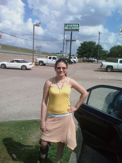
The Houston location for June 7th, 2008 is on I-45, just south of FM 518, in League City.
Maps

SmartGirl83 Standing about 15 feet from the meeting point, since the exact location was in a driveway.