Difference between revisions of "2020-05-13 50 9"
From Geohashing
(expedition report for Bad Hersfeld) |
m (Location) |
||
| Line 47: | Line 47: | ||
[[Category:Coordinates reached]] | [[Category:Coordinates reached]] | ||
| + | {{location|DE|HE|HEF}} | ||
Latest revision as of 18:42, 21 August 2020
| Wed 13 May 2020 in 50,9: 50.8596598, 9.7050245 geohashing.info google osm bing/os kml crox |
Location
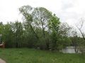
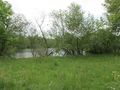
The hash lay on the edge of a lake at Bad Hersfeld.
Participants
Plans
Traveling by train to Bad Hersfeld and a walk.
Expedition
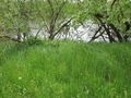
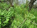
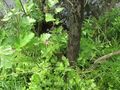
Everything as usual until I reached the hash. The hash lay between two big trees with a little tree between on the edge of a lake. As I came nearer to the hash I viewed a spur - the only spur around on all the grass - leading to the hash and away. But no signs of other geohashers or any reports.
Photos

this is not a train robbery
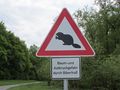
the beavers are guilty for falling trees
geohash ahead
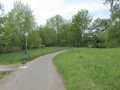
way to hash
the left tree
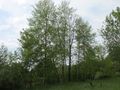
the right tree
the tree in the middle marks the geohash
somebody was here first
nearest point to go
where the water does begin
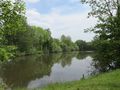
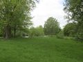
the hash area in general
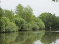
the hash area in detail
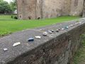
later in the city, painted stones on a wall near the church


