Difference between revisions of "2008-07-07 42 -71"
imported>Thomcat (Success/failure category added) |
imported>ReletBot m (Failed => Not reached) |
||
| Line 33: | Line 33: | ||
[[Category:Expeditions with photos]] | [[Category:Expeditions with photos]] | ||
[[Category:Coordinates not reached]] | [[Category:Coordinates not reached]] | ||
| − | [[Category: | + | [[Category:Not reached - Mother Nature]] |
Revision as of 20:23, 31 March 2009
| Mon 7 Jul 2008 in 42,-71: 42.4819844, -71.3579083 geohashing.info google osm bing/os kml crox |
Contents
About
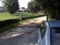
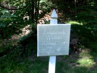
This hash is located in Concord, MA in the Boston, Massachusetts graticule. It is beyond the end of the car passable section of Estabrook Road, near Estabrook Woods. It does not appear to be on private property, there are no signs indicating as such, and there is a nice sign pointing the way to the woods.
Attending
Liryon will be there around 4:30pm. Its only ~7 miles from work, so why not!
Anomaly almost made it to the location around 1:30pm, but the rest of Estabrook road was private property. A few photos were taken.
Expeditions
Liryon 4:48pm
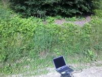
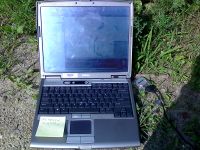
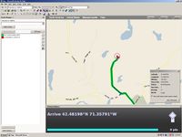
As I said, this hash is only about 7 miles from where I work. However, this does not mean that Microsoft Streets and trips did not have enough time to lead me astray more than a few times. Although, one of the times it appears the laptop overheated and froze, which I suppose isn't the program's fault. I eventually made it, to find the road closed off further from the hash than expected. It did, however, still appear to be a public road, just not car accessible, so I parked and continued. There was some human activity on the farm, they did not seem to mind my presence, or they didn't notice me. I was able to get within 65 feet, almost due west of the hash. Since I had just come from work I was not prepared to wade through the tall grass and weeds to get to the real hash. I also only had my cell phone camera, but I think it is pretty good; here are some shots.
- Boston 07-07-2008: Liryon
User:Liryon at the hash.
