Difference between revisions of "2016-07-15 51 -4"
From Geohashing
(Source: @h0m54r@twitter.com) |
m (Location) |
||
| Line 23: | Line 23: | ||
[[Category:Coordinates reached]] | [[Category:Coordinates reached]] | ||
[[Category:Expeditions with photos]] | [[Category:Expeditions with photos]] | ||
| + | {{location|GB|CYM|ATA}} | ||
Latest revision as of 21:42, 20 December 2022
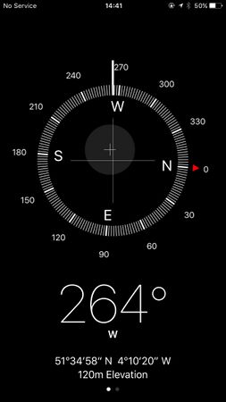
| Fri 15 Jul 2016 in 51,-4: 51.5830345, -4.1722530 geohashing.info google osm bing/os kml crox |
Location
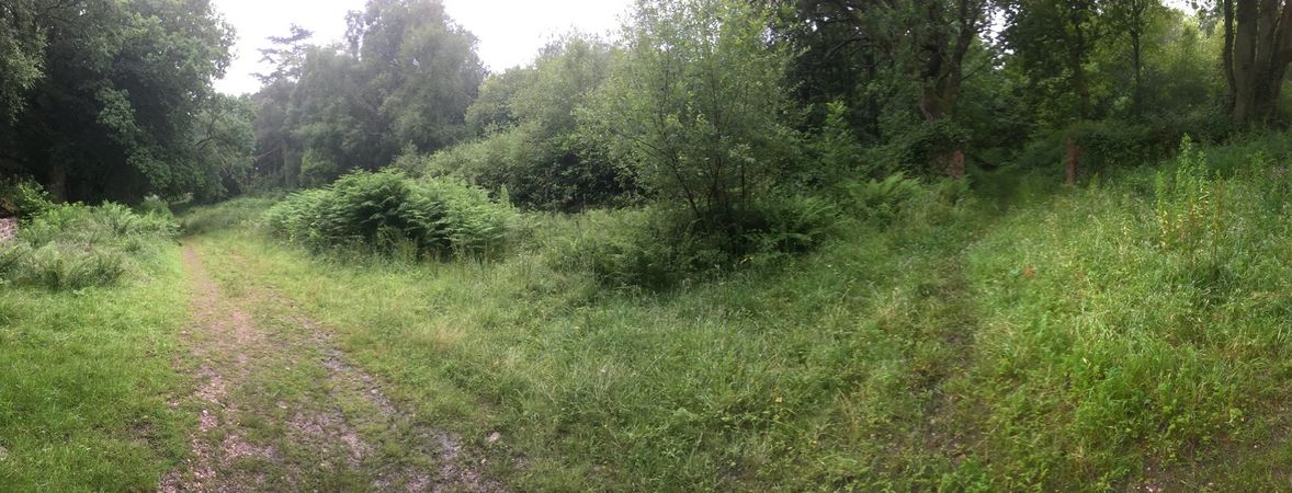
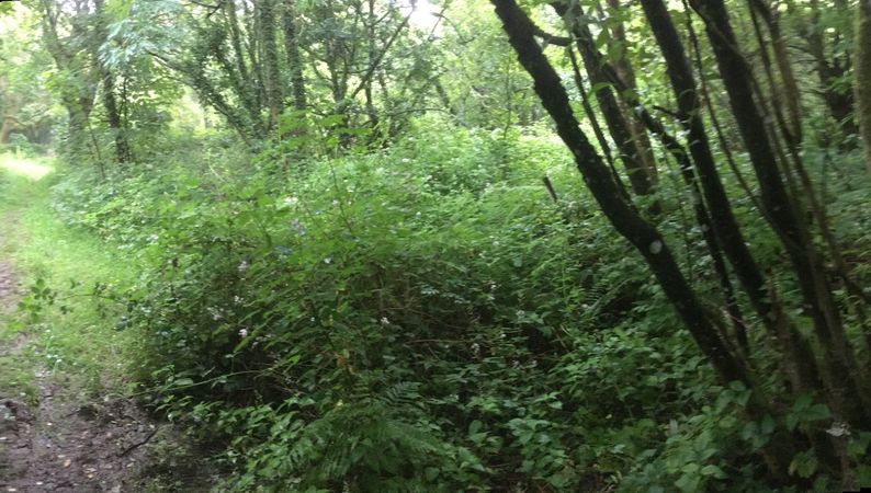
This Geohash is located in a forest in Penrice.
Participants
About
Tachibana Kanade documented this expedition on Twitter.
Expedition
Today's hashpoint #geohashing


